United States » Utah »
Grand Staircase–Escalante National Monument
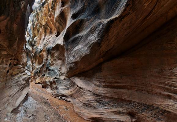
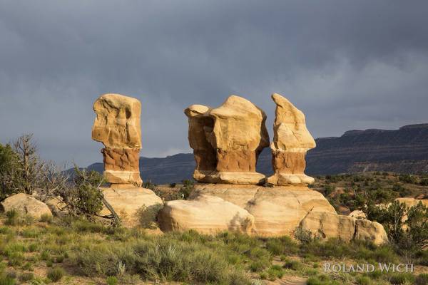
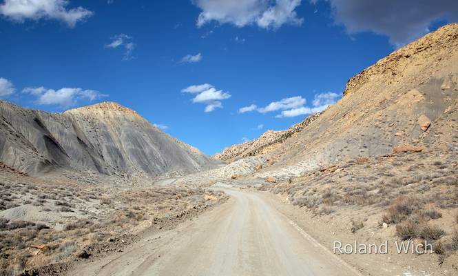
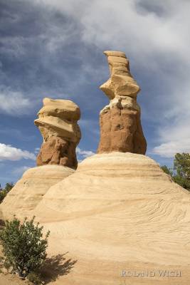
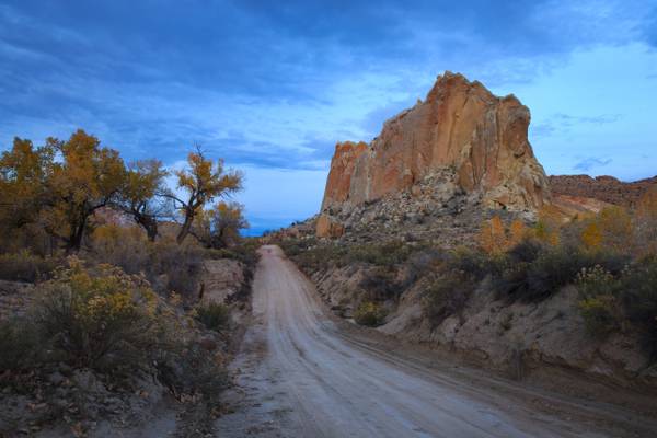
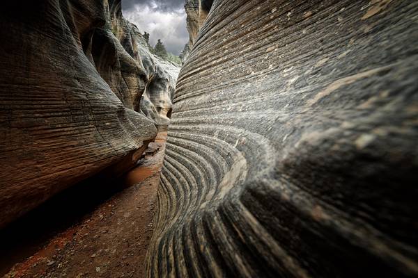
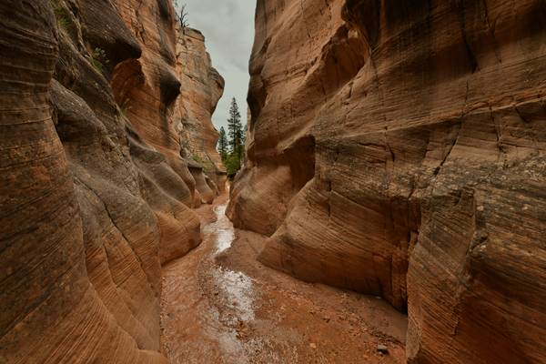
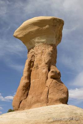
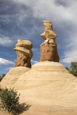
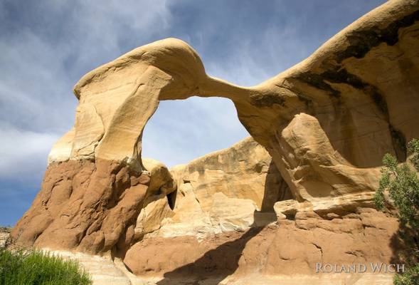
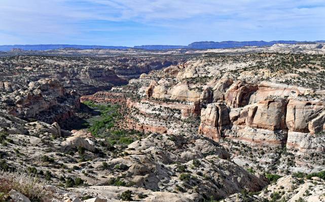
Grand Staircase–Escalante National Monument is a vast and stunning landscape located in southern Utah. This protected area covers over 1.9 million acres of land and is home to a diverse range of geological formations, wildlife, and plant species. The monument is a popular destination for photographers, offering a wealth of opportunities to capture the beauty of the natural world. Some of the most popular photography locations in Grand Staircase–Escalante National Monument include the towering cliffs of the Escalante River, the colorful hoodoos of the Devil's Garden, and the sweeping vistas of the Kaiparowits Plateau.

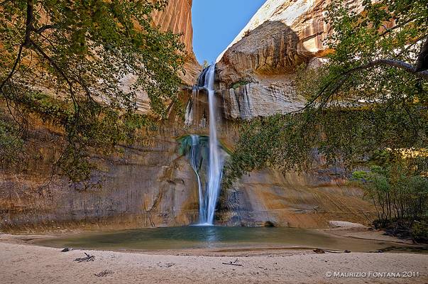
by Maurizio Fontana
USA 2011 - Escalante
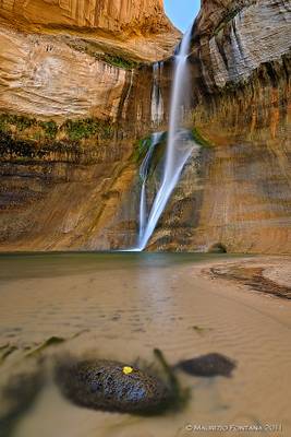
by Maurizio Fontana
USA 2011 - Escalante
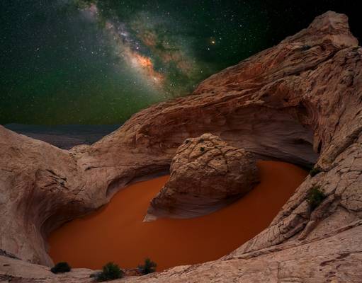
by Jeff Stamer
firefallphotography.com
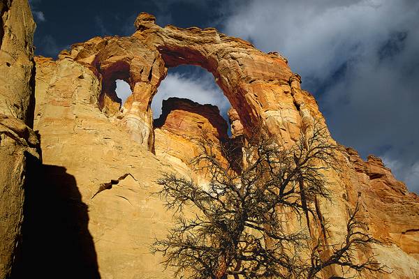
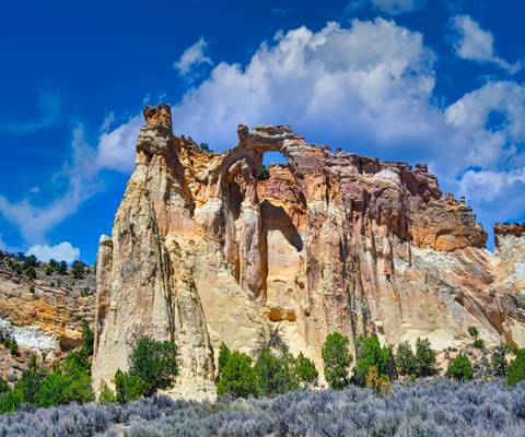
Grosvenor Arch, a double arch near the northern end of the Cottonwood Canyon road. It's an impressive double arch but unfortunately photos don't do...
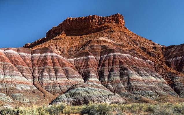
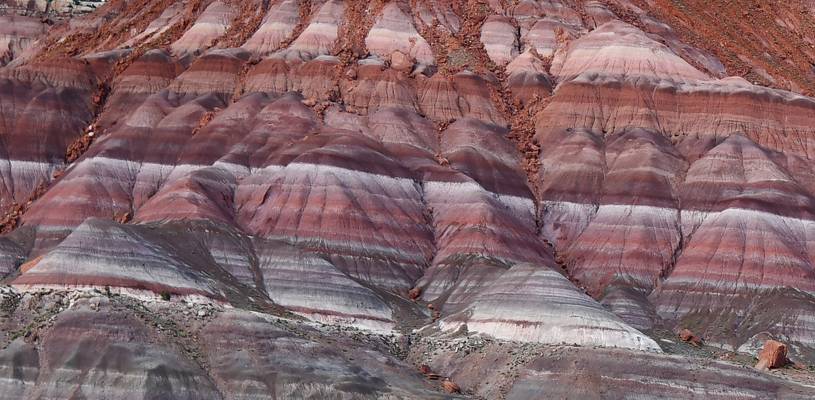
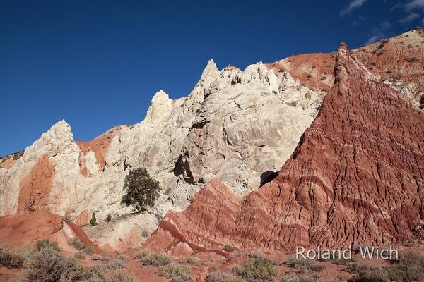
Banded sediments of the eroding Chinle formation, capped by Kayenta sandstone, rise above the former site of the Paria movie set. The colorful...
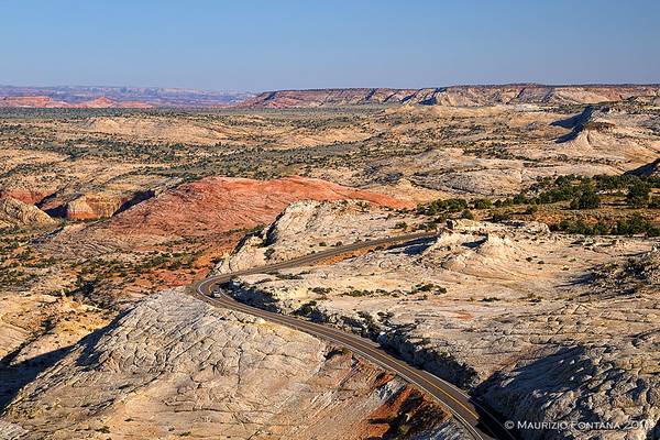
by Maurizio Fontana
USA 2011 - Escalante
by Sandeep Thomas
- Andy Warhol.
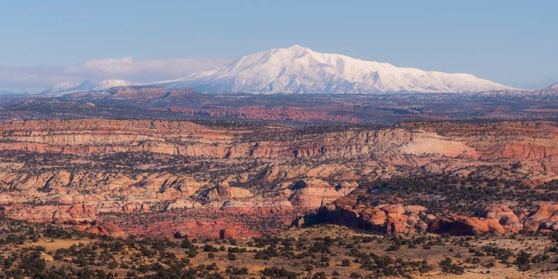
If you are a scenic byway nerd like I am, highway 12 in southern Utah should be on your list. The route is about 120 miles, and the sheer number of stunning locations accessible from this highway is staggering. We traveled on this road after getting caught up in a full-blown snowstorm at Bryce. We were one of the first people who left Bryce after the storm, and it was like driving through a winter wonderland. The snow looked untouched, and the contrast of white against the brilliant red of the landscape was nothing.
Red Canyon, Bryce Canyon NP, Kodachrome Basin SP, Grand Staircase-Escalante NM, Escalante Petrified Forest SP, Calf Creek Falls, Boulder Mountain, Capitol Reef NP, Blue Hills, and Hole in the wall road are some of the stunning locations accessible from scenic byway 12. I took this image at the Head of the rocks overlook, a scenic overlook with 360-degree views. I noticed this mountain in the distance and thought it would be the right candidate for a telephoto landscape image. I later learned that the mountain's name is Mt Pennell, an 11,413 ft peak, which the second tallest of the Henry Mountains, just behind Mt Ellen. The snowstorm cleared the view a lot, and the contrast between the red landscape of the foreground and the mountain in full snow glory was stunning. I cannot wait to get back to southern Utah and do a bit more exploring.
by David ruiz luna
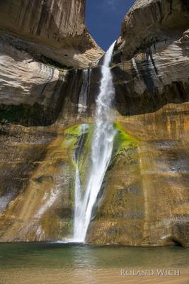
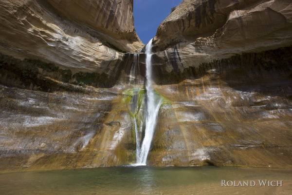
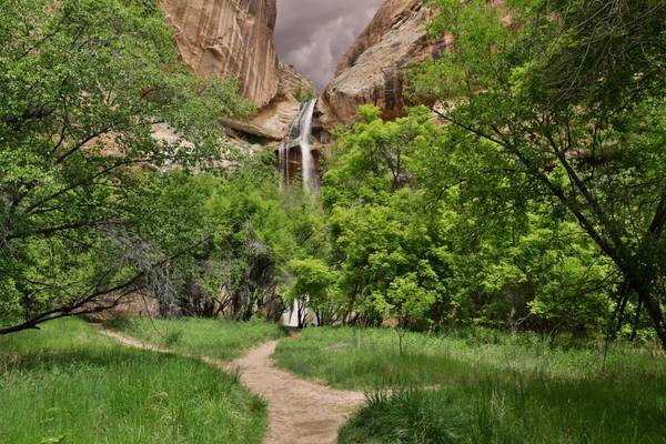
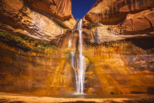
Calf Creek Falls is one of the most enchanting areas of the Grand Staircase-Escalante area, a verdant oasis amid the tumbled stone monoliths of the desert. Walking between mineral-streaked cliffs of Navajo Sandstone, hikers pass beaver ponds and pre-historic rock art sites en route to the paradisiacal pools.
Escalante Utah, United States September 2016
Photo Cover LEVEL-3 : WORLD PeaceHallofFame December 2021
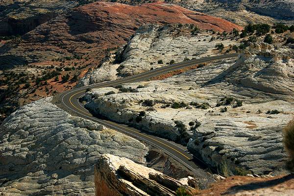
Utah state highway 12 winding through on the way from Escalante town to the river.
Thanks to all for the comments and once again merry Christmas and...
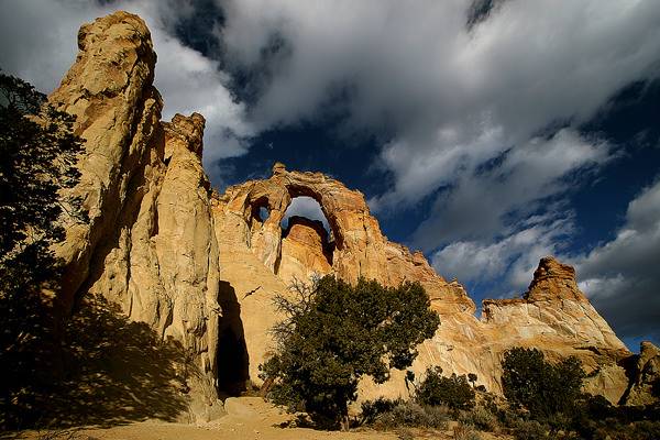
Grosvenor Arch, a double arch near the northern end of the Cottonwood Canyon road. It's an impressive double arch but unfortunately photos don't do...
Thanks to all Phoide contributors to Grand Staircase–Escalante National Monument!
Most notably Maurizio Fontana, Sandeep Thomas and Dominic Nessi.
