Cârțișoara

by Eduard Wichner
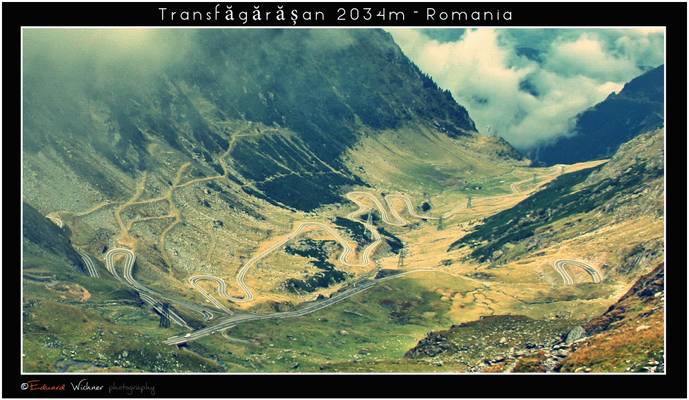
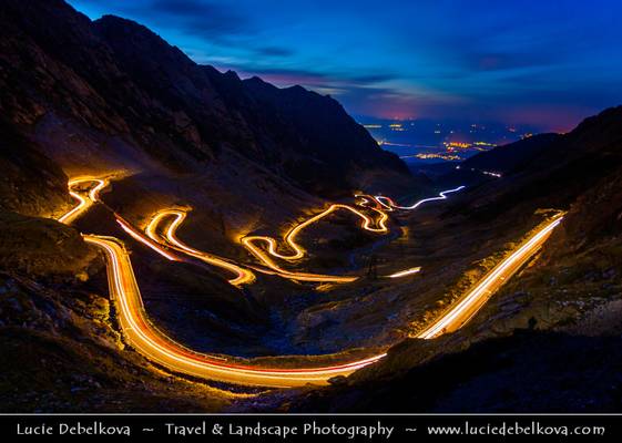
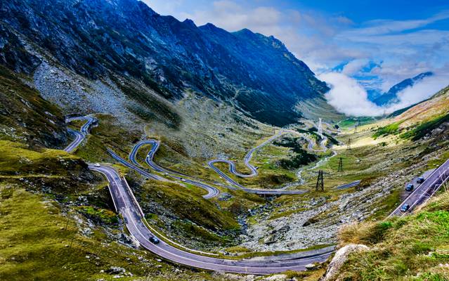
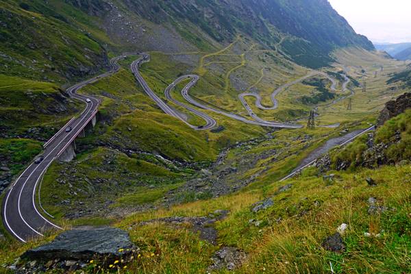
The Transfăgărășan (trans (over, across) + Făgăraș) or DN7C is the second-highest paved road in Romania. Built as a strategic military route, the 90 km of twists and turns run north to south across the tallest sections of the Southern Carpathians, between the highest peak in the country, Moldoveanu, and the second highest, Negoiu. The road connects the historic regions of Transylvania and Wallachia, and the cities of Sibiu and Pitești. The road was constructed between 1970 and 1974, during the rule of Nicolae Ceaușescu. It came as a response to the 1968 invasion of Czechoslovakia by the Soviet Union. Ceaușescu wanted to ensure quick military access across the mountains in the event the Soviets attempted a similar move into Romania. Consequently, the road was built mainly with military forces, at a high cost both financially and from a human standpoint—roughly 6 million kilograms of dynamite were used on the northern face, and the official records mention that about 40 soldiers lost their lives in building accidents. The road climbs to 2,034 metres altitude. The most spectacular route is from the North. It is a winding road, dotted with steep hairpin turns, long S-curves, and sharp descents. The Transfăgărășan is both an attraction and a challenge for hikers, cyclists, drivers and motorcycle enthusiasts alike. Due to the topography, the average speed is around 40 km/h.

** Join me on Facebook | Google+ | Twitter | 500px | Instagram **
Europe - Romania - Transfagarasan Highway - Transfăgărășan -...

by Dominic Nessi
- The Transfăgărășan or DN7C is a paved mountain road crossing the southern section of the Carpathian Mountains of Romania. It has national-road ranking and is the second-highest paved road in the country after the Transalpina. It starts near the village of Bascov, near Pitești, and stretches 90 kilometres (56 mi) to the crossroad between the DN1 and Sibiu, between the highest peaks in the country, Moldoveanu and Negoiu. The road, built in the early 1970s as a strategic military route, connects the historic regions of Transylvania and Wallachia.
Thanks to all Phoide contributors to Cârțișoara!
Most notably Eduard Wichner, Andrey Sulitskiy and Dominic Nessi.
