Crook County
by Patrick Clancy
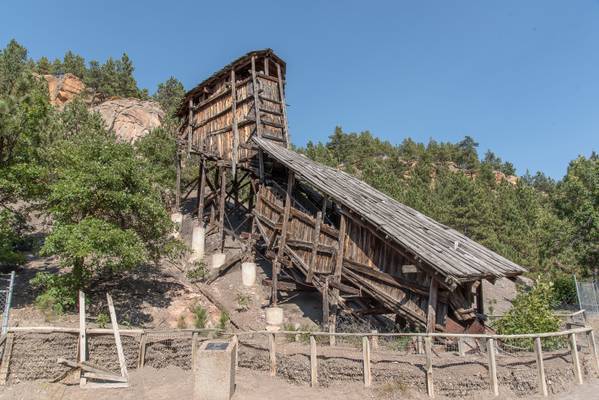
"The Aladdin mine began operation in the late 1800’s and coal was mined until it was abandoned in 1942.
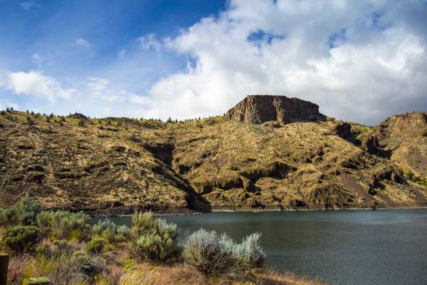
by Bonnie Moreland
The Prineville Reservoir is in the high desert hills of Central Oregon. The reservoir is on the Crooked River 14 miles (22.5 km) southeast of Prineville, and 29 miles (46.7 km) east of Bend . This reservoir is a popular retreat for most of Central Oregon. It is near the geographic center of Oregon. Prineville Reservoir State Park is managed by the Oregon Parks and Recreation Department.
Prineville Reservoir was created by damming, via the Arthur R. Bowman Dam, the Crooked River upstream from Prineville. The reservoir is part of the U.S. Bureau of Reclamation's Crooked River Project, flooding a juniper- and sagebrush-filled canyon, and was finished in 1961. The dam and reservoir are owned by the Bureau of Reclamation, and operated under contract by Ochoco Irrigation District. Prineville Reservoir covers 18 miles (29 km) of the Crooked River and is primarily an irrigation storage water body, with secondary objectives of Crooked River flood control and public recreation. Prineville Reservoir has a maximum depth of 130 feet (40 m) and storage of just over 150,000 acre feet (190,000,000 m3) of water.
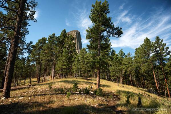
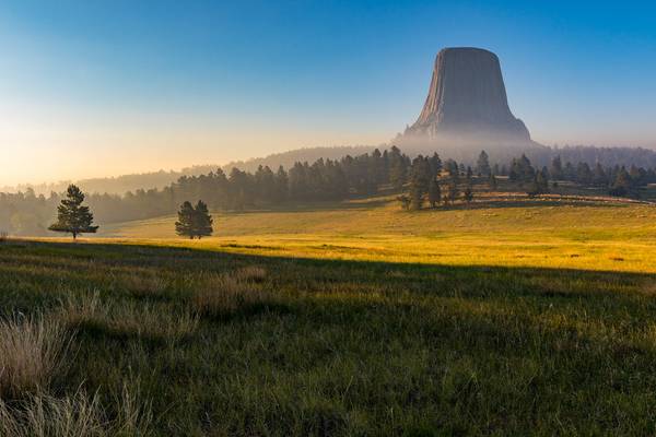
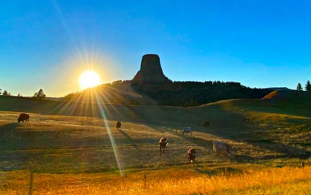
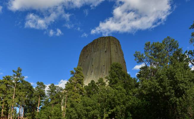
Amidst a beautiful pine forest on the Wyoming side of the Black Hills, rises the mysterious Devils Tower, a 867 feet high monolith, a sacred place...
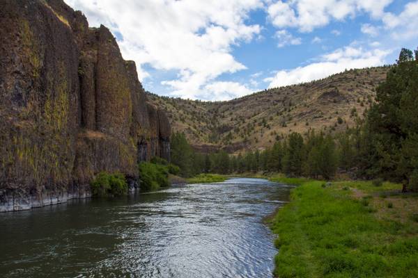
by Bonnie Moreland
The National Wild and Scenic Rivers System was created by Congress in 1968 (Public Law 90-542; 16 U.S.C. 1271 et seq.) to preserve certain rivers with outstanding natural, cultural, and recreational values in a free-flowing condition for the enjoyment of present and future generations. Oregon has approximately 110,994 miles of river, of which 1,916.7 miles are designated as wild & scenic—almost 2% of the state's river miles.
The Crooked River is a tributary, 125 miles (201 km) long, of the Deschutes River in Oregon. The river begins at the confluence of the South Fork Crooked River and Beaver Creek. Of the two tributaries, the South Fork Crooked River is the larger and is sometimes considered part of the Crooked River proper.
Wild River Areas – Those rivers or sections of rivers that are free of impoundments and generally inaccessible except by trail, with watersheds or shorelines essentially primitive and waters unpolluted. These represent vestiges of primitive America.
Scenic River Areas – Those rivers or sections of rivers that are free of impoundments, with shorelines or watersheds still largely primitive and shorelines largely undeveloped, but accessible in places by roads.
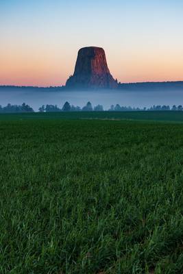
I always wanted to visit this amazing geological site after watching the movie, Close Encounter of the Third Kind. After driving for almost 400 mi...
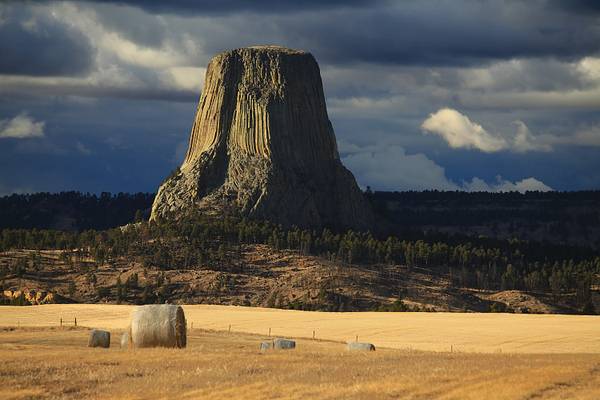
Devil's Tower National Monument, Wyoming, against a stormy sky in the afternoon, it was supposed to snow that night, and it did, but it only seemed...
Thanks to all Phoide contributors to Crook County!
Most notably Bonnie Moreland, Dominic Nessi and Patrick Clancy.
