
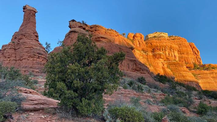
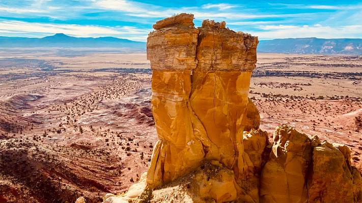
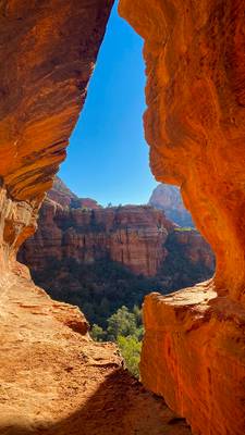
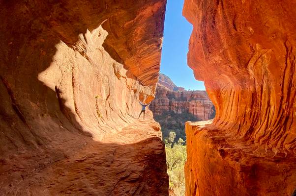
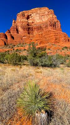
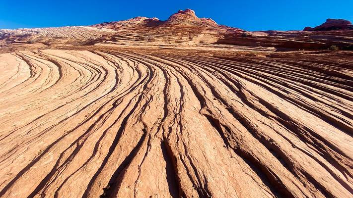
Four Corners States
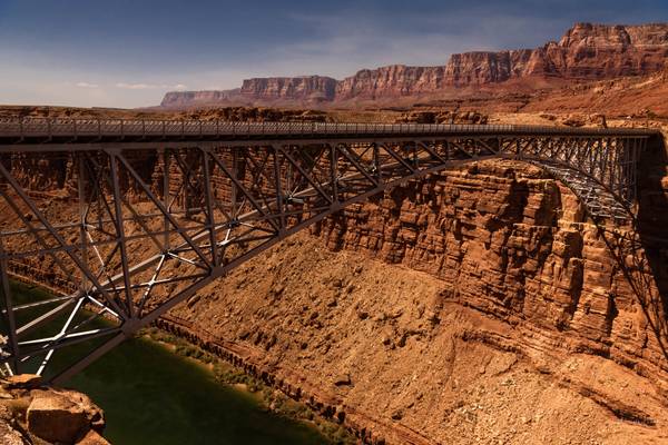
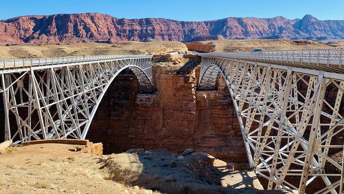
Navajo Bridge crosses the Colorado River's Marble Canyon near Lee's Ferry in the US state of Arizona carrying U.S. Route 89A. Spanning Marble Canyon, the bridge carries northbound travelers to southern Utah and to the Arizona Strip, the otherwise inaccessible portion of Arizona north of the Colorado River, which includes the North Rim of Grand Canyon National Park.
September 2016
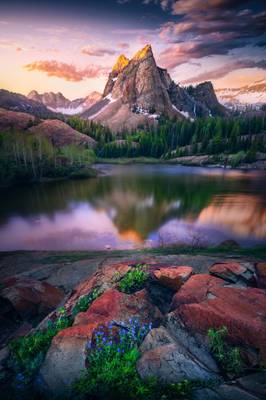
E X P L O R E. : Jul 15, 2021 #17
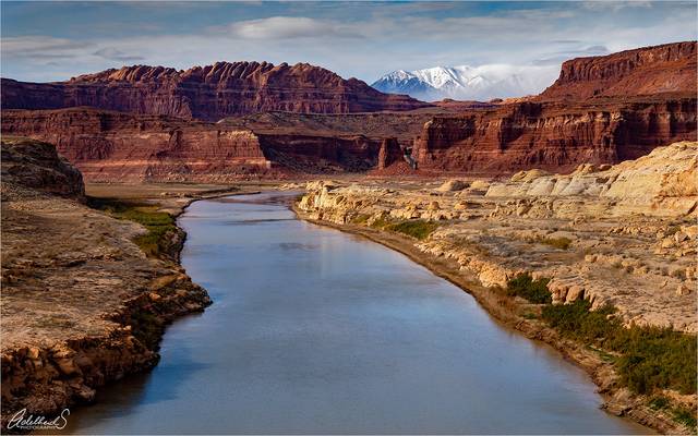
Taken on a clear December day from the Hite Crossing Bridge, looking west towards the snow capped Henry Mountains in the distance.
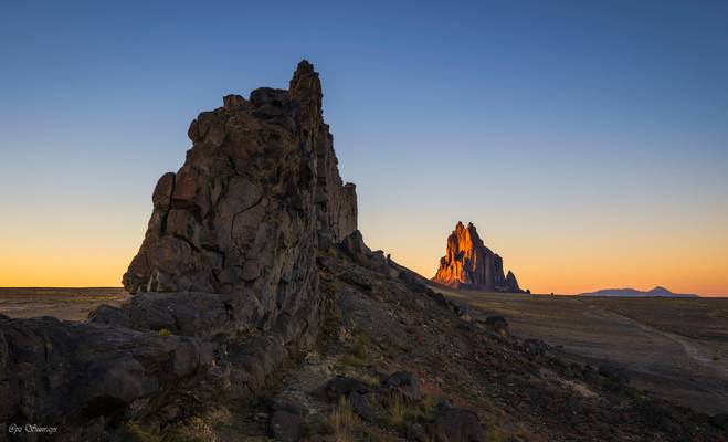
Shiprock is also known as Rock With Wings because there are numerous volcanic dykes radiated out from it. Looking from one end of its wings, their shapes seemed echoing with Shiprock.
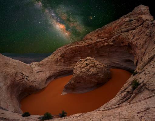
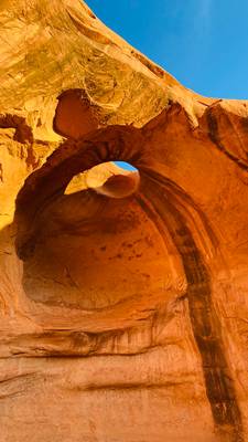
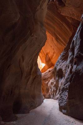
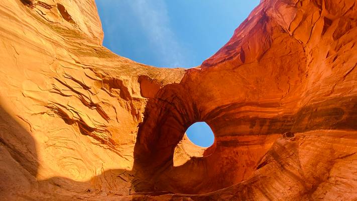
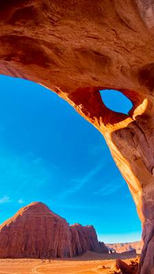
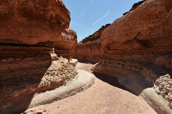
We walked through the amazing 11 mile long Buckskin Gulch in southern Utah.
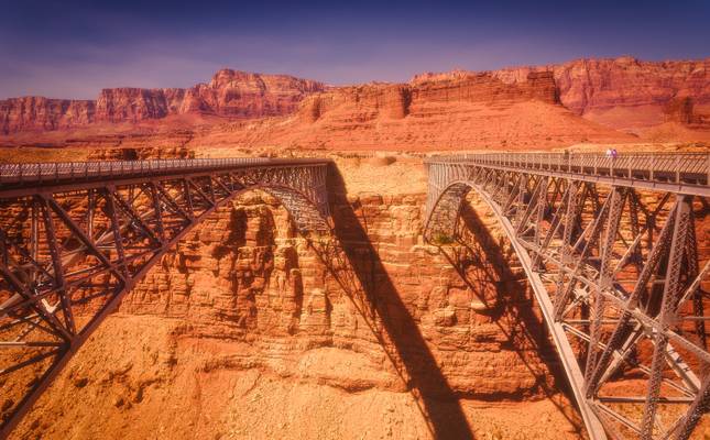
Navajo Bridge crosses the Colorado River's Marble Canyon near Lee's Ferry in the US state of Arizona carrying U.S. Route 89A. Spanning Marble Canyon, the bridge carries northbound travelers to southern Utah and to the Arizona Strip, the otherwise inaccessible portion of Arizona north of the Colorado River, which includes the North Rim of Grand Canyon National Park.
September 2016
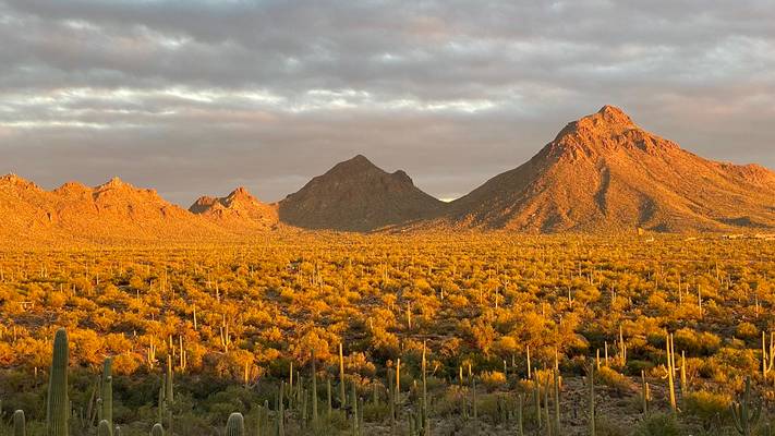
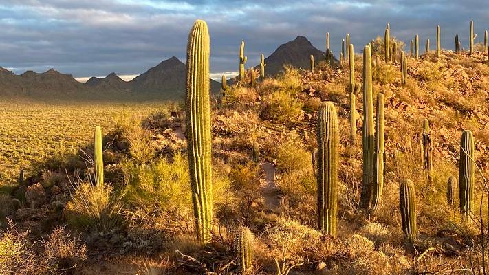
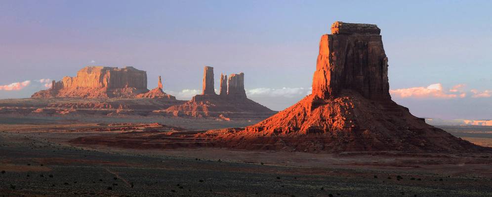
A picture on route visiting different parks of West of United States
We began in Montana with Yellowstone National Park and we visited 17 national parks, crossed 7 states and drove more than 7500 km until to arrive at San Francisco. It was a great experience and a fabulous trip.
Utah, Interstate 70, USA September, 2016

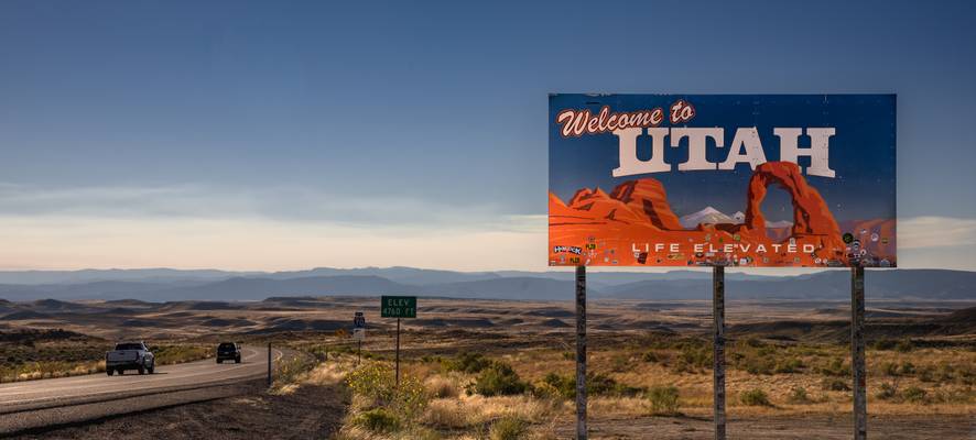
Utah es un estado del oeste de EE.UU. que se caracteriza por sus amplias extensiones de desierto y las montañas de la cordillera Wasatch. Salt Lake Ci
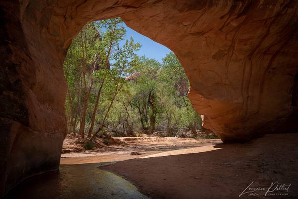
We spent several days in early May hiking in and along of the river in this remote canyon in Utah, part of Grand Staircase-Escalante National...
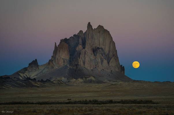
Shiprock, with its wings (also known as Winged Rock), is the remnant of an explosive volcanic eruption that occurred around 30 million years ago, and a monadnock rising nearly 1,583 feet (482.5 m) above the high-desert plain of the Navajo Nation in San Juan County, New Mexico. Its peak elevation is 7,177 feet (2,187.5 m) above sea level.
Governed by the Navajo Nation of native American, the formation is in the Four Corners region and plays a significant role in the religion, myth, and traditions to the Navajo people. It is the most prominent landmark in northwestern New Mexico. In 1975, Shiprock was designated as a National Natural Landmark by the National Park Service.
--Excerpt from Wikipedia
Note: tried the app PlanIt, and managed it to show me the time and location when/where moon will rise. Somehow I doubted about it. I was wrong. The moon rose exactly from the location PlanIt showed. What an amazing app :-)
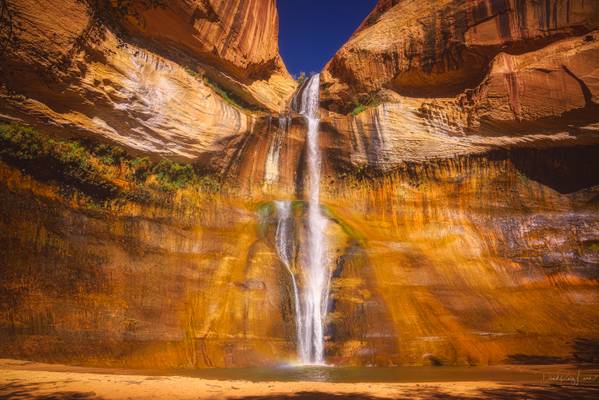
Calf Creek Falls is one of the most enchanting areas of the Grand Staircase-Escalante area, a verdant oasis amid the tumbled stone monoliths of the desert. Walking between mineral-streaked cliffs of Navajo Sandstone, hikers pass beaver ponds and pre-historic rock art sites en route to the paradisiacal pools.
Escalante Utah, United States September 2016
Photo Cover LEVEL-3 : WORLD PeaceHallofFame December 2021
Thanks to all Phoide contributors to Four Corners States!
Most notably David ruiz luna, PZ Sunrays and Adelheid Smitt.