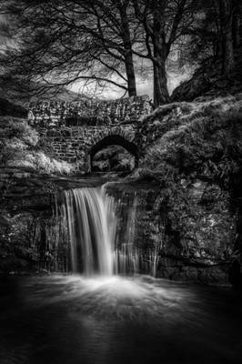
Hartington Upper Quarter

by Alan Taylor
My website: Deep Mono Photography
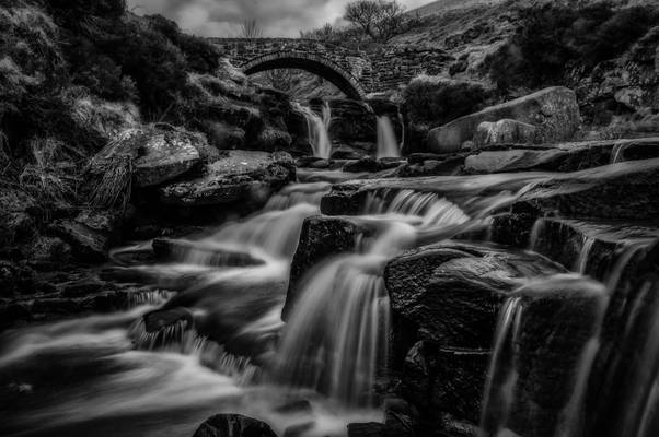
A 5-shot HDR with a 3-stop ND filter for good measure. Taken on a jaunt up to Three Shire Heads with Liz and Kev Palmer.
Three Shire Heads is situated at grid reference 010686 on the border of Cheshire, Staffordshire and Derbyshire and is a point where four packhorse routes meet. There is a fabulous high-arched stone packhorse bridge beside which is Panniers Pool where the little ponies with their heavy panniers or saddlebags would have been allowed to drink.
Back in the 19th century, Three Shire Heads was a place where lawbreakers or coiners evaded capture by crossing into a neighbouring county as years ago it was only possible for police to act within their own county limits. The local settlement of Flash takes its name from the trading in counterfeit money by these coiners, the word flash being associated as dishonest or not of genuine quality i.e. flash men (thieves), flash money (counterfeit currency) or flashy (not as good as it looks.)
This was also said to be the setting for illegal prize fights and cock fighting as the perpetrators of such crimes could escape and soon disappear in this wild and rocky scenery. It is reputed that a court was held on this spot in the 14th century by order of the Black Prince, Lord of the nearby Forest of Macclesfield, relating to tenants of the counties of Derby and Stafford who were accused of trespass into the forest.
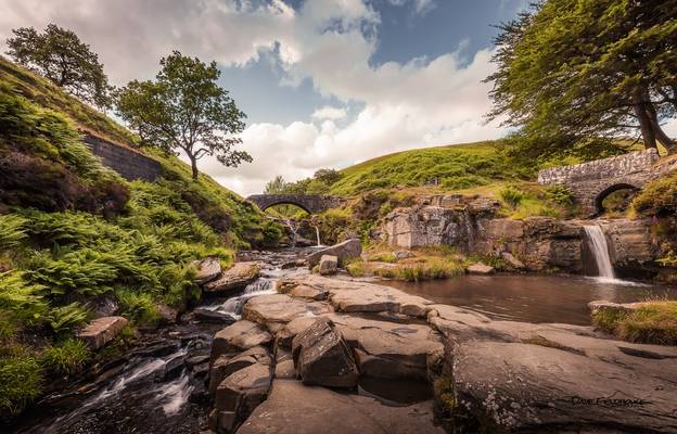
Something recycled. I posted this image a couple of months ago as a black and white image. For some reason I decided against the colour version at...
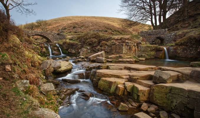
by Richard Down
The meeting place of Cheshire, Staffordshire and Derbyshire
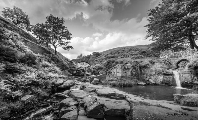
Another from my recent trip to Three shires head. Thought it suited Black and White perfectly.
by Alan Taylor
My website: Deep Mono Photography
I used a three-stop ND filter to slow down the water but I wasn't too pleased with the results so I added a second three-stop filter to produce this result.
Taken on a jaunt up to Three Shire Heads with Liz and Kev Palmer.
Three Shire Heads (also known as Three Shires Head) is the point on Axe Edge Moor where Cheshire, Derbyshire and Staffordshire meet, at UK grid reference SK009685, or 53.213°N 1.987°W. It is on the River Dane, which marks the Cheshire border in this area. On the east of the river, the border between Staffordshire and Derbyshire runs north-east for about a mile to Cheeks Hill, on the higher regions of Axe Edge Moor. From Cheeks Hill the border runs south then east to the head of the River Dove. The main landmark is a packhorse bridge. The bridge is Grade II-listed, and was probably constructed in the late 18th century. Wikipedia
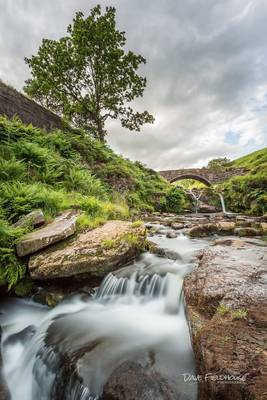
I went location spotting around the part of the Peak District where Cheshire, Staffordshire and Derbyshire all meet. I wasn't disappointed with what...
Thanks to all Phoide contributors to Hartington Upper Quarter!
Most notably Alan Taylor and Richard Down.