Jackson County

by Michael Kight
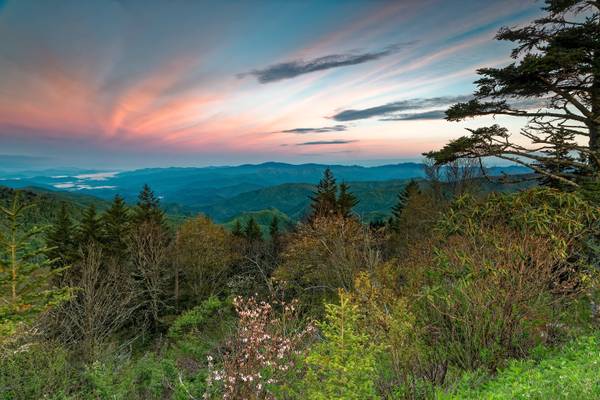
As you can see, Waterrock Knob, at Milepost 451.2 on the Blue Ridge Parkway, provides for some pretty spectacular views. This is looking west over the Great Smoky Mountains and off into the state of Tennessee. The highest mountain in the distance is Clingmans Dome… at 6,643 feet (2,025 meters), it is the third highest mountain east of the Mississippi. One of the fascinating things to me in this image is that you can see a definite terminator between the light of the rising sun behind me and the receding night beyond. The area of the fog beneath it is the Cherokee Indian Reservation.
Spring is quite evident here with service berry trees and pink shell azalea in bloom.
by Michael Kight
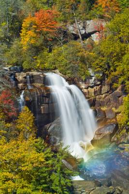
This is the top tier of Whitewater Falls in the North Carolina Blue Ridge. If you get there at the right time, you can catch a nice rainbow in the mist below. The remnant of Hurricane Ida has been blowing through here the last few days dumping a horrendous amount of rain as it goes... this picture would look quite different today, no doubt.
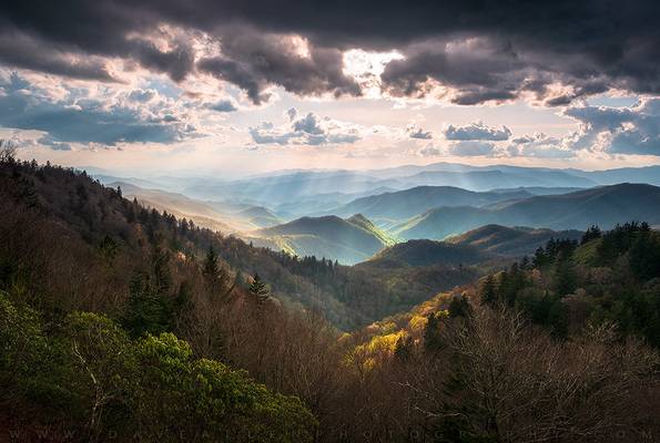
Spring in the Valley - Great Smoky Mountains North Carolina Scenic Landscape Cherokee NC
Went out on the Blue Ridge Parkway last week for a couple...
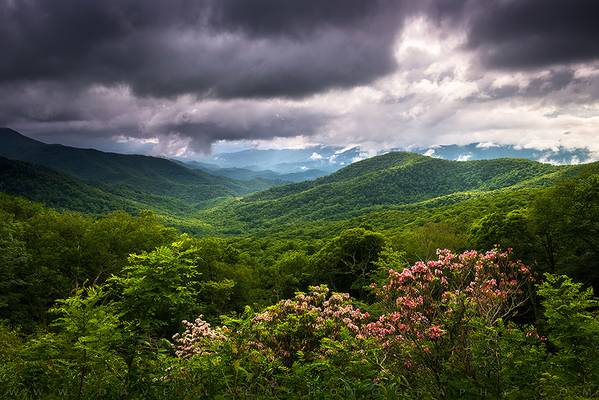
The Last Mile - North Carolina Blue Ridge Mountains Spring Flowers Landscape
Shot this image with my Spring in the Highlands group workshop a week...
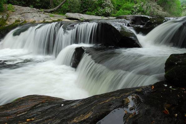
Chattooga River Potholes (headwaters-section 0) Jackson County, North Carolina Accessed via Bull Pen Road (gravel)
When I have a cold one (or two)...
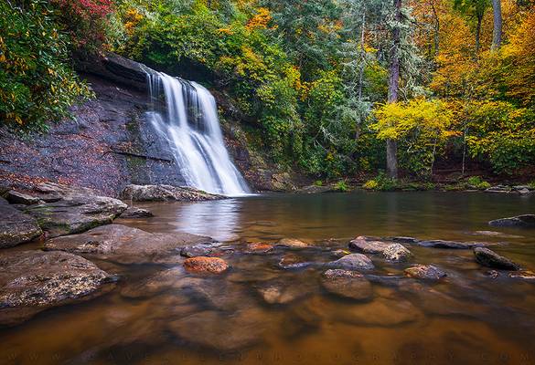
Autumn at Silver Run Falls - North Carolina Waterfall Photography
Got to enjoy a nice autumn afternoon at Silver Run Falls with my autumn waterfalls...
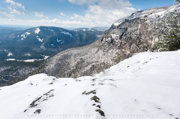
Snow on the Sheer Cliffs of Whiteside Mountain Jackson County, Western North Carolina Accessed via US-64 from the Cashiers Area Date taken: February...
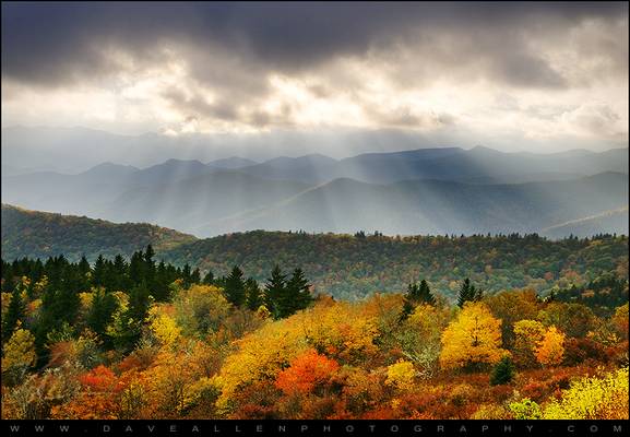
Blue Ridge Parkway autumn evening landscape photography in the southern Appalachian Mountains. Evening sun beams through the clouds over the...

by Michael Kight
Blue Ridge Parkway milepost 430.7 - elevation: 5950 feet... Cowee Bald is only 4944 feet, which means I'm standing quite a bit higher than this cascading mountain range. That might have a lot to do with the fact this is right around the bend from the highest point on the Blue Ridge Parkway (Richland Balsam Overlook, at milepost 431.4, is the highest along the parkway at 6047 feet). This vantage point allows a peek down into the wilderness that encompasses 166 square miles from here to the setting sun.
As are the names of many places throughout this region of North Carolina, the origin of Cowee (pronounced Co-Wee) is Cherokee. It is a derivative of the word Ka-wi, which is an abbreviated form meaning “place of the Deer Clan.” It was the name of a Cherokee settlement that existed near here some 300 years ago... one of the few "images" of that settlement comes nearly 200 years ago in the words of botanist William Bartram, as he looked out across the town of some one hundred dwellings, "The settlement is esteemed the capital town of the Cherokee and is situated on the bases of the hills on both sides of the river, near to its bank." From this location I can certainly understand their fascination with the place, though all that remains is pastureland along the Little Tennessee River. It is good to know that so many beautiful places still bear the influence of so noble a culture.
This overlook is likely as good a sunset spot on the Blue Ridge Parkway as any... and there are quite a few people figuring that out lately. This was the first evening of many while I was in the area with decent cloud coverage. It settled low over the range after it came over the ridge behind me, however, leaving a lot of blue sky overhead. The Sun settled into a narrow band where its light seemed to concentrate as it was squeezed between mountains and clouds... a few photons traveling at twice the speed of sound nearly knocked my camera off the tripod! They went by me so fast without so much as an "Excuse me." And if you believe that...
... you might need a refresher in physics. Twice the speed of sound at that altitude and temperature of that day is roughly 0.415 miles/second. Photons travel at the speed of light because they're, well, light... which makes them roughly 4.48 times 10 to the 6th power faster (Flickr has no appreciation for scientific notation). That's a big number for the math challenged. There did seem to be an awful lot of photons here at this moment, so much so that the sunbeams seemed like ladders you could climb on. Odd to consider something moving so fast could also seem so tangible. Think about it... the speed of light is 186,000 miles/second... that’s scary! Photography is the science of recording light... things moving at high speed tend to be dangerous. Y'all be careful out there.
This is a compilation of 16 vertical images panned from a leveled tripod and camera, then stitched in Photoshop CSS 2015, providing a final output of 7'x1'.
by Michael Kight
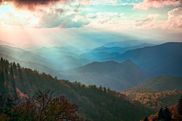
Within this region of the Blue Ridge, my place of choice for a sunset is the Cowee (pronounced co-wee, Cherokee for “place of the Deer Clan) Mountains Overlook at Milepost 430.7 on the Blue Ridge Parkway. It’s a high place looking down on a cascading mountain range. I often shoot it as a panorama. I decided to change things up this year by taking a chance further south at the Woolyback Mountain Overlook at Milepost 452.3. While cloud coverage occluded a colorful sunset, I’m quite pleased with what happened here as the low sun punches through holes in the clouds. As it does, it gives a hint of the autumn forest, layers of mountain ranges, and light streaming through the mist among the trees left of the near ridge which adds to the dimensionality of the image. You can also see some diffraction going on in the clouds. It’s deeply fascinating to me to see the atmosphere become quite tangible, as though you can reach out and touch it… I’m not certain that a colorful sunset would have been as satisfying as this heavenly view.
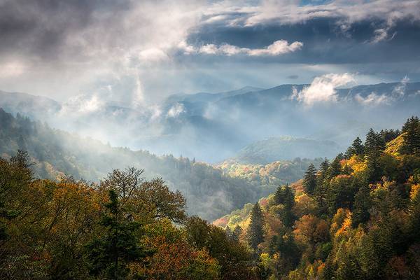
Fall From Grace - Great Smoky Mountains Cherokee North Carolina Blue Ridge Parkway Scenic Landscape
Gorgeous warm autumn light filters through the...
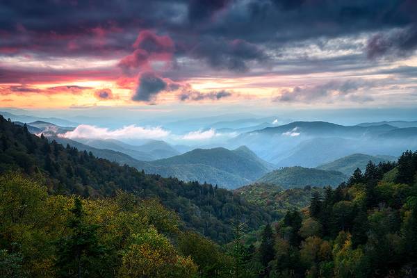
Faded Glory - Great Smoky Mountains Sunset Landscape Cherokee North Carolina
Shot this image this past weekend while leading my yearly Blue Ridge...
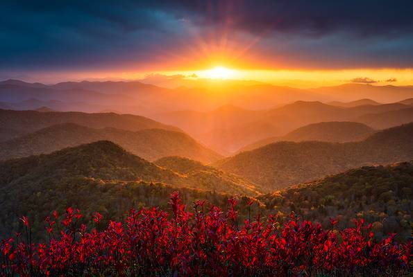
Crimson Glory - North Carolina Mountains Sunset Scenic Landscape Blue Ridge Parkway Asheville NC
Autumn sunset over endless layers of the Blue Ridge...
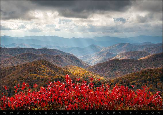
Blue Ridge Parkway North Carolina fall foliage scenic landscape under crepuscular rays of light on an amazing autumn afternoon in western NC! I shot...
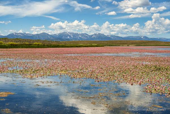
Lily pads color the reservoirs near Walden, in northern Colorado red.
© 2016 Marc Haegeman. All Rights Reserved
Website: Marc Haegeman Photography...
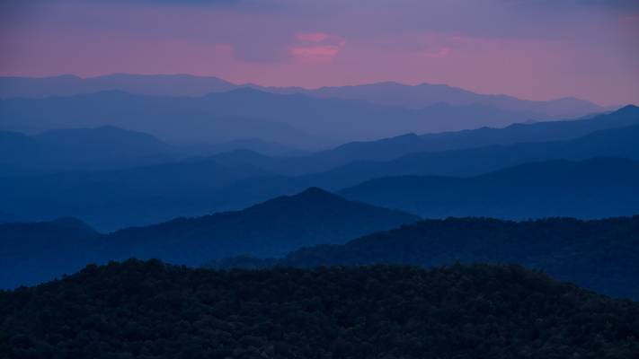
Sunset on the Blue Ridge Parkway, living up to its name! I had never been to this spot before, what a great set of layers receding off into the...
by Michael Kight
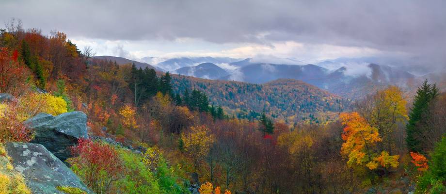
The Blue Ridge Parkway celebrates its 75th anniversary this year (2010). Construction began near Cumberland Knob near the state lines of North Carolina and Virginia in 1935 on the 469-mile road that would connect Shenandoah National Park with the Great Smoky Mountains National Park through the spine of the Southern Appalachian Mountains. It was completed in 1983 with the construction of the Viaduct around Grandfather Mountain. I’ve enjoyed it since 1978.
One reason why I love the Blue Ridge Parkway is that the sky meets the land in tangible ways. Whether it’s from the sun’s rays finding liberty through the clouds or beaming past trees in the fog, clouds lifting off the valleys or rime ice on pine needles, there always seems to be more about the atmosphere here besides merely breathing in and out… it can, indeed, be breathtaking. I attempted to make that evident in this image.
Overcast days really make color stand out… it helps for it not to be too blustery a day as well, so you can see detail in that color. This was a set of vertical images of just such a condition stitched together with Photoshop to give a big (20"x46") panorama overlooking Herrin Knob (just beyond the near ridge). A rather stout hiking trail goes around Tanasee Bald into Herring Knob. Tanasee Bald is said to be the traditional home of the mythical Cherokee giant Tsul ‘Kalu. Mythical or not, I had to admonish him to stop blowing the leaves around long enough to get this shot. He thinks that's funny!
Giving further evidence to the kind of images this kind of day produces, one of my Flickr friends, Mark VanDyke, was off a short ways in the distance of this image at likely about the same time of day... take a look at his excellent photo of Courthouse Falls here: www.flickr.com/photos/markvandyke/5099659757/ Give him a shout. I'm sure he'd appreciate it.
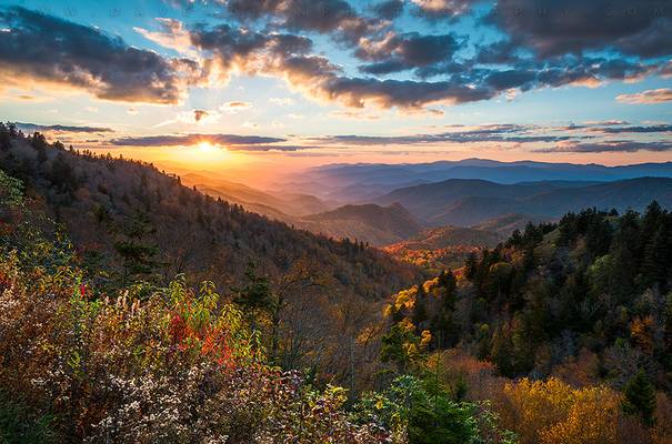
Indian Summer - Great Smoky Mountains National Park NC Scenic Autumn Sunset Landscape
Scenic landscape photography of an autumn sunset over...
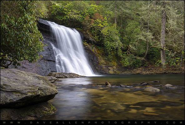
Silver Run Falls waterfall in Cashiers NC. There's a lot to love about the Cashiers NC and Highlands NC area, including this beautiful waterfall in...
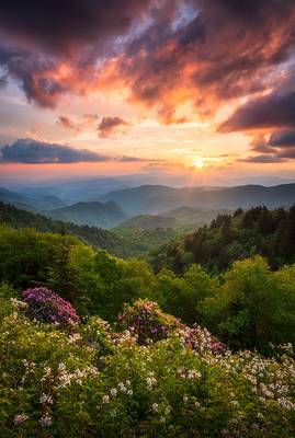
Wish You Were Here - North Carolina Great Smoky Mountains Sunset Landscape Cherokee NC
Sunset over the spring bloom in the Blue Ridge Mountains and...
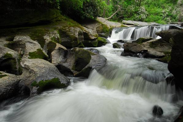
Chattooga River Headwaters (section zero) Jackson County, Western North Carolina Accessed via Bull Pen Road (gravel) from NC-107
To put the Wild &...
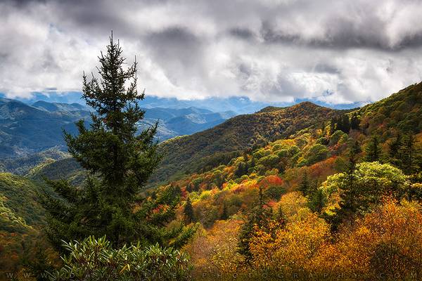
Vast - North Carolina Blue Ridge Parkway October Mountains Autumn Colors
The vibrant autumn colors of October in the mountains of Western North...
Thanks to all Phoide contributors to Jackson County!
Most notably Michael Kight and Patrick Clancy.
