Khumbu Subsection
Khumbu Subsection is a region located in the Sagarmatha National Park, Nepal. This area is known for its stunning natural beauty, including the world's highest peak, Mount Everest. The Khumbu Subsection is a popular destination for photographers, as it offers a variety of breathtaking landscapes and cultural experiences. Some of the most popular photography locations in the Khumbu Subsection include the Tengboche Monastery, the Khumbu Glacier, and the Gokyo Lakes. These locations offer stunning views of the Himalayan mountains, as well as unique cultural experiences with the local Sherpa people.

by Clive Griffiths
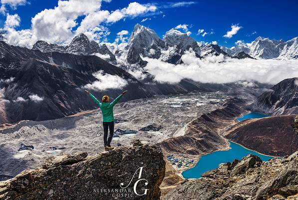
This is a view from Gokyo Ri.
Please give generously to the disaster fund.
This was one of the best views from the biggest walk of my life.

by Hendrik Koners
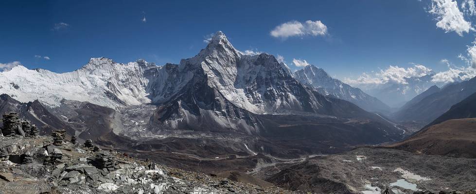
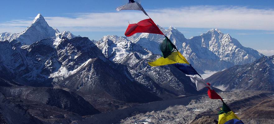
Great evening view from Chhukung Ri towards East and South. Ama Dablam (6814m) towering over the valley on the right side Far left background Makalu (8481m) and Baruntse (7129m). Solukhumbu, Nepal.
by Clive Griffiths
Reported epicentre of today's earthquake, and a place that will be known to anyone who has visited the Everest region of Nepal.
In our thoughts.
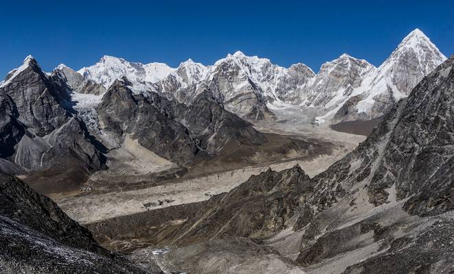
by Hendrik Koners
Sunny vista from the ridge near Kongma La - one of the three passes in Nepal's Khumbu area - towards Lobuche, Gorak Shep and Pumori on the far right side.
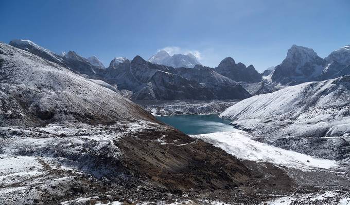
Looking back toward Gokyo, Mt Everest, in the center, towers above all else.
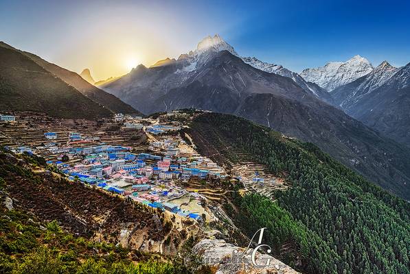
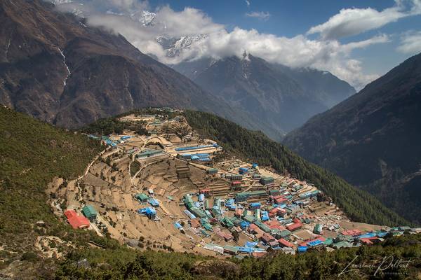
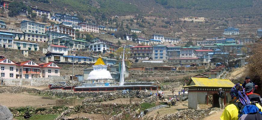
Moment of sunrise above Namche Bazaar (3440m), the main village of the Himalayan Sherpa people, which lies on the steep Himalayan slopes deep in the...
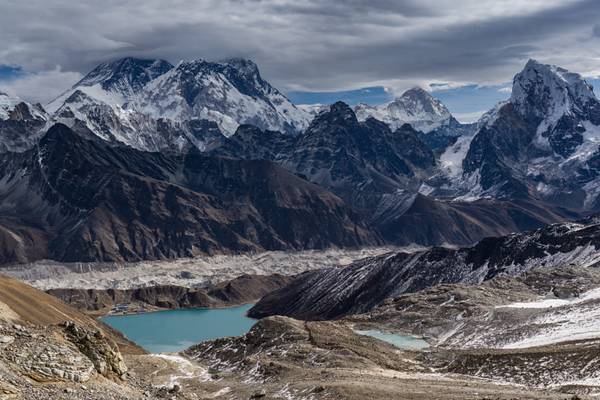
by Hendrik Koners
The Everest-Lhotse-Nuptse massif rising above everything else. Seen from Renjo La - one of the "three passes" in the Khumbu area (~5400m), Nepal. With the 3rd Gokyo lake to the left, Makalu in the far distance and the steep Cholatse on the right side.
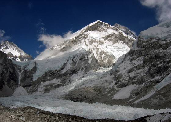
by Clive Griffiths
Finally it looks like we may be taking small small steps out of lockdown, but the hills of Wales and Scotland are still going to be out of bounds. To mark the moment, I thought I would upload an older image of the biggest 'hill' of all, Everest. Taken not that far from Everest Base Camp, this shows the enormous ice cascade, the Khumbu Icefall, slowly grinding and crashing its way down from the Western Cwm to join the Khumbu Glacier. The summit of Everest glowers black against the deep blue sky, rinsing another 11,000 feet above the point where i was standing.
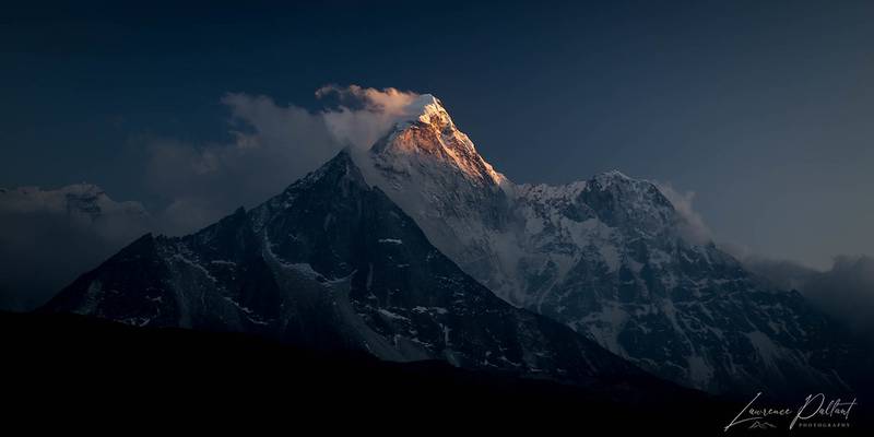
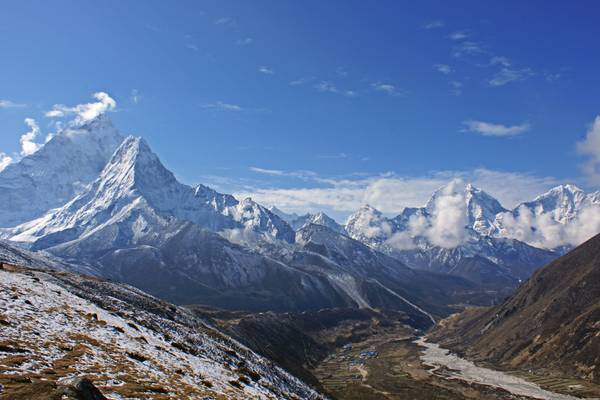
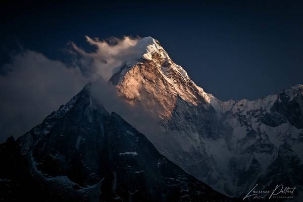
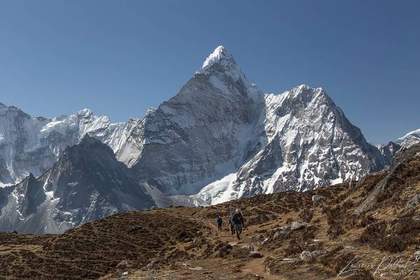
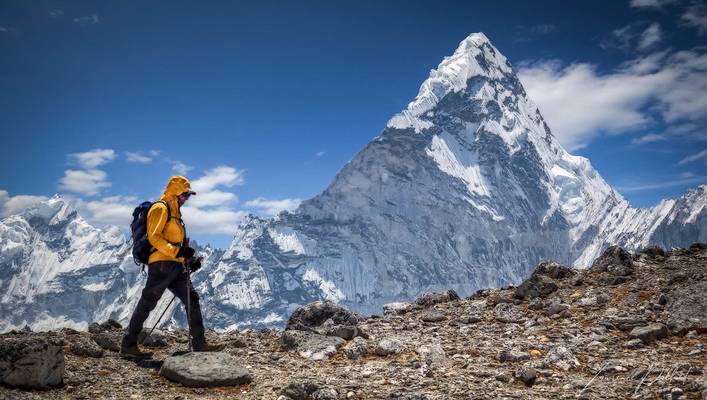
Ama Dablam (22,349 ft), taken from the village of Chhukhung (15,500 ft) in Sagarmatha National Park, the Everest region of Nepal.
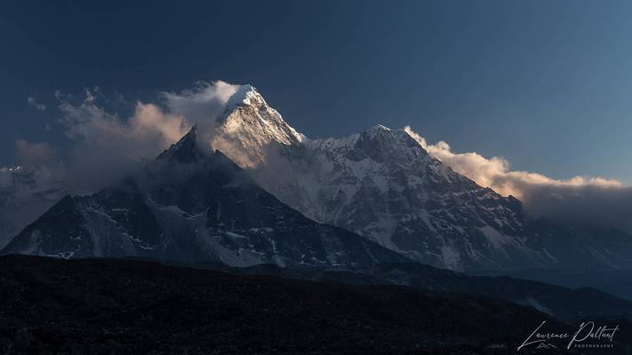
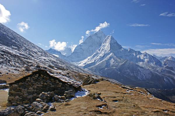
Chukhung Ri is 17,800 feet. This is not the top, but it is the better viewpoint.
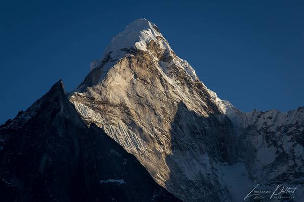
The day's end draws near and I am about to go crazy taking photos of the light on the mountains.
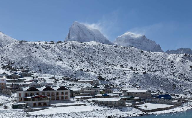
Gokyo sits at the edge of Third Lake. We were treated to a light dusting of snow on the previous day, leaving a beautiful white landscape on this...

by David ruiz luna
In Pangboche (3930m), the town which we can see in the inferior angle of this photo, begins the way to climb up this fabulous mountain. En Pangboche (3930m), el pueblo que podemos ver en el ángulo inferior de esta foto, comienza el camino para subir esta fabulosa montaña.
Trekking to the Everest Base Camp. Sagarmatha National Park. Nepal.
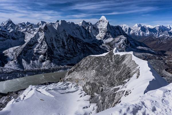
by Hendrik Koners
Imja Tse / Island Peak (6189m). One of the most popular "Trekking Peaks" in Nepal. With a view towards Peak 41, Mera Peak, Kangtenga, Ama Dablam and many more. Because of its location (close to Chhukung and therefore Namche and Lukla) Island Peak is relatively easy to approach compared to other mountains.
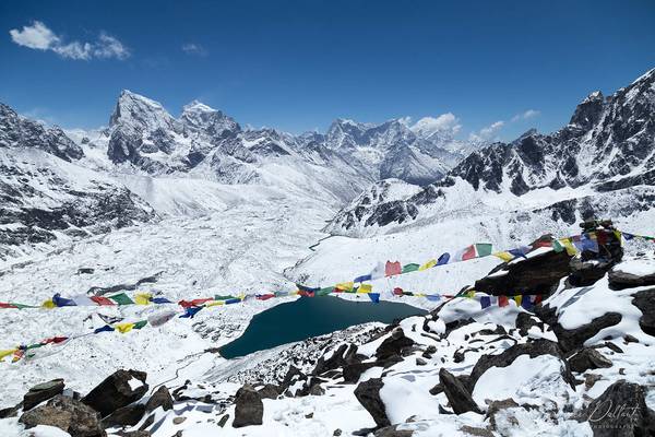
From the top of Gokyo Ri, we look down on the village of Gokyo under the prayer flags.
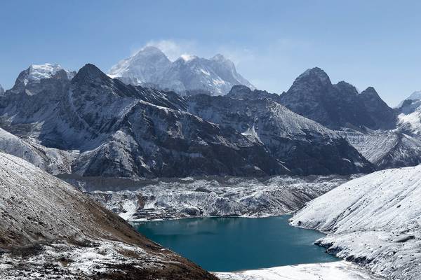
This is another view of Mount Everest as it towers above Gokyo. We are on our way to cross the third high pass of our trek, Renjo La (17,585 feet)....
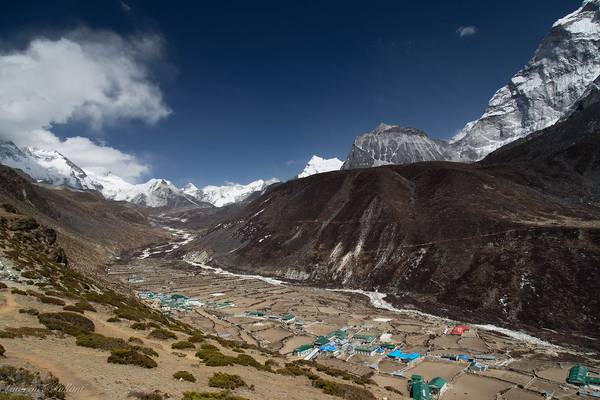
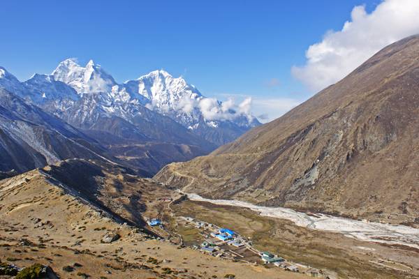
Dingboche sits in a beautiful valley along the Imja Khola River. Ama Dablam towers above the village in the far right of the photo.
Thanks to all Phoide contributors to Khumbu Subsection!
Most notably Andrey Sulitskiy, Clive Griffiths and David ruiz luna.
