Marin County
Marin County, located in the northern part of California, is a picturesque destination that offers a diverse range of photography locations. From the rugged coastline to the rolling hills, Marin County is a photographer's paradise. The county is home to several iconic landmarks, including the Golden Gate Bridge, Muir Woods National Monument, and Mount Tamalpais. The area is also known for its charming towns, such as Sausalito and Tiburon, which offer stunning views of the San Francisco Bay. Whether you're a professional photographer or an amateur, Marin County has something to offer everyone. With its natural beauty and unique landmarks, it's no wonder that Marin County is a popular destination for photographers from around the world.
Photography regions of Marin County
Photography of Marin County

by Birgit M.
(_6300230-2) OLYMPUS DIGITAL CAMERA
by Yi Jiang
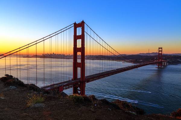
From Spencer Battery at Dawn
by Sandeep Thomas
- Vivien Leigh.
| facebook | 500px.com | tumblr |
Please like my facebook page and visit the 500px page if you like my photos...
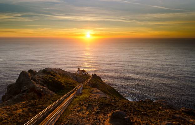
Point Reyes Lighthouse during an autumn sunset. The shot was made using a makeshift reverse ND filter by combining .6 and .9 ND Lee filters from the outlook platform. Another shot I took during the recent trip to Point Reyes seashore. I almost missed the shot because we spend so much time taking pictures of the windswept cypresses. As we reached the platform the sun was about to set. My wife and I set up the tripod and the filters and got this beautiful scene on the first shot itself as the sunset happened.
Hope you all enjoy the pictures and thank you for visiting and all the comments...
by Sandeep Thomas
- Ellen Key.
|| insta || blog || photostream ||
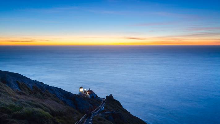
Recently I changed computers, and while sorting through my data files, I came across some of the old images that I missed. Some of them were due to lack of skills and some of them by accident. Anyways, I have been coming over some of my old trips to find images that I might have missed when I came across this shot at one of the windiest places in the world, Point Reyes seashore. My wife and I made this about a month after our marriage and stayed until the last light. On that evening, the lighthouse truly lived up to its reputation as the windiest place on the planet. But it was such a fun experience, and I came out of it with some decent shots.
by Sandeep Thomas
- Rose Kennedy
| facebook | 500px | ferpectshotz |
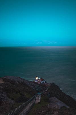
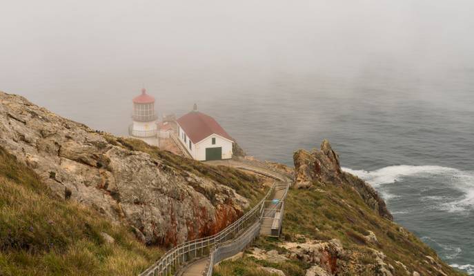
Point Reyes lighthouse from our last summer trip. We were in the bay area and had a day to spare so we decided t take a trip to this stunning lighthouse. We reached the location just as they were closing the gates but had enough time for a quick trip down to the lighthouse. I took this shot while were being herded back to the gates by the ranger. Albeit being a spring day the temperature was unusually warm and so there was thick fog cover at the lighthouse, hardly a surprise since its one of the foggiest places on the Pacific coast.
This was one of the few shots where you can see the shape of the lighthouse from that day. Most of the beautiful sights that are usually visible from this location were covered by fog that day but we still had a great time just enjoying the nice weather and walking around the wonderful ocean breeze. Thanks for visiting.
by Sandeep Thomas
- Rudyard Kipling.
| facebook | 500px | [ferpectshotz](http://ferp ectshotz.com/) |
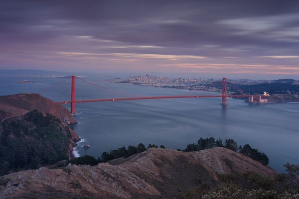
I had this shot in mind for some time, years actually. One of the tasks that get assigned to you when you live way out in California, and most of your family lives on the east coast is that you become the de facto tour guide. I have taken lots of my family members to view the golden gate bridge from Battery Spencer that we have a metro toll payer in our car even though we live in SoCal, and there are no toll roads.
Anyways during those trips, I often wondered about the winding roads that snake their way up and down the Marin Headlands and wondered about photo opportunities. Finally, I convinced my wife to spend my birthday weekend here, and we spend a whole day exploring the various trails near the golden gate bridge. The location of this shot is on the beautiful coastal trail.
by Sandeep Thomas
- Mark Twain.
| facebook | 500px.com | tumblr |
Please like my facebook page and visit 500px page if you like my photos...
I have heard about the windswept Cypress trees of the Pacific coast for a long time and always wanted to see and photograph them. Cupressus macrocarpa, commonly known as Monterey Cypress or Macrocarpa, is a species of cypress that is endemic to the Central Coast of California. In the wild, the species is confined to two small populations, near Monterey and Carmel, California.[2] These two small populations represent what was once a very large forest on the west coast. The surviving trees from this forest are as old as 2000 years. it is a medium-sized coniferous evergreen tree, which often becomes irregular and flat-topped as a result of the strong winds that are typical of its native area. It grows to heights of up to 40m in perfect growing conditions, and its trunk diameter can reach 2.5m. The foliage grows in dense sprays, bright green in color. The leaves are scale-like, 2–5 mm long, and produced on rounded (not flattened) shoots; seedlings up to a year old have needle-like leaves 4–8 mm long.
So when I finally made my move to CA, I decided to visit the windiest place on the Pacific coast and see if they have any cypress trees and I landed pay dirt. These trees are located on way to the Point Reyes Lighthouse just before you reach the lighthouse and are an amazing sight. I took this HDR shot as the sun was setting and I wanted to reach the lighthouse for the sunset. But I am very happy with the results and hope everyone likes it!!
![Moonlight is sculpture...[explored]](https://cdn.phoide.com/Thumbs/d1c08358-5888-4dba-84ca-2772abe0448c.jpg)
by Sandeep Thomas
- Nathaniel Hawthorne.
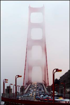
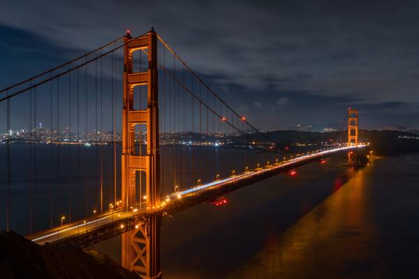
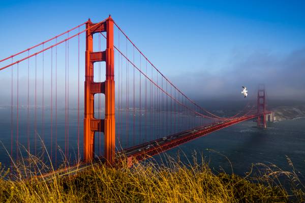
The quintessential Golden Gate shot. I was in the west coast last weekend but didn't had a lot of time in my hands. so I decided to get to the Golden Gate and get the touristy shots. My friend suggested this location as it has the city lights behind to give some interest. I was really hoping for some fog but didn't get lucky. I really wanted to get a shot from the other side though as it would have captured a beautiful sunset behind the bridge.
by Michael
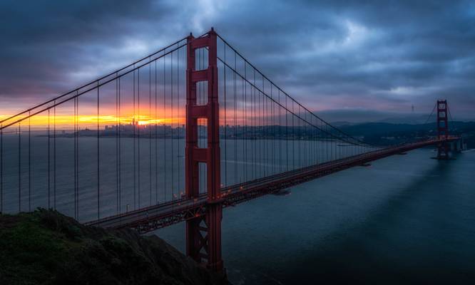
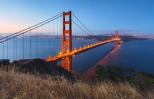
Early morning on the marin headlands at one of the lower viewpoints. No low fog or other spectacular things happneded that morning but I just had to get my golden Gate shot :-)
by Andrew Kearns
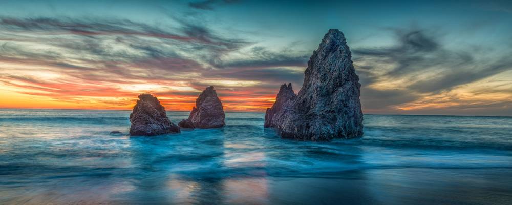
5 images stitched together. NO HDR.
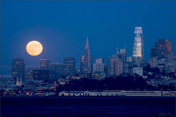
by Milton Sun
View from Sausalito, Marin County, California.
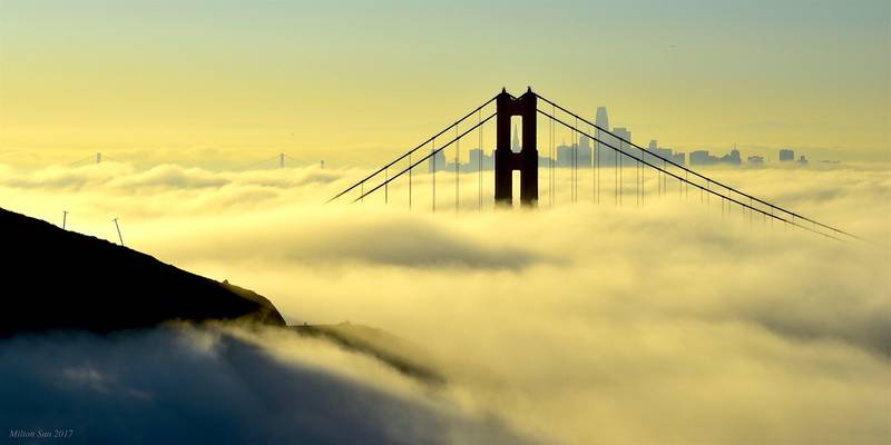
by Milton Sun
Thanks for your visit and looking. Have a nice day/night!
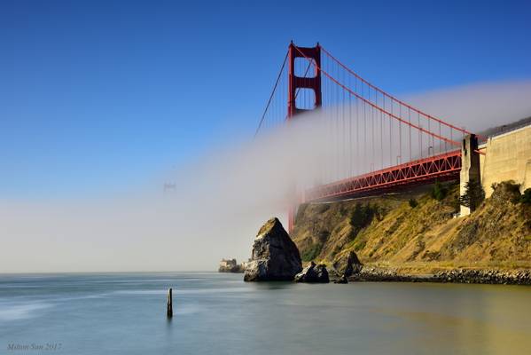
by Milton Sun
Thanks for stopping by and taking a look.
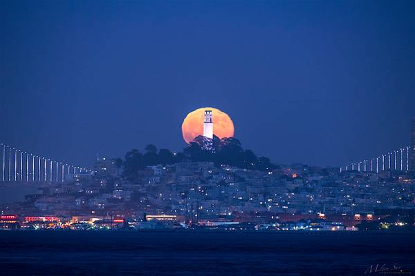
by Milton Sun
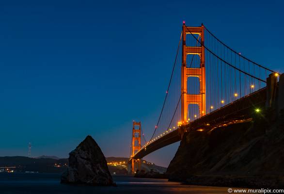
Seen from Fort Baker Fishing Pier, Sausalito, Marlin County, CA
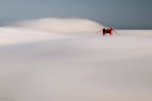
by Milton Sun
View the Golden Gate Bridge from Hawk Hill at Marin Headlands in San Francisco.
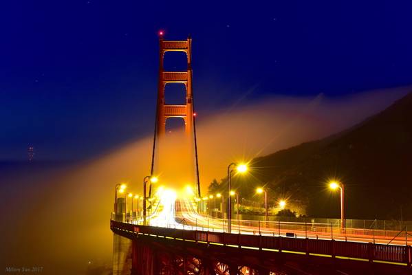
by Milton Sun
Thank you for taking time to view this image!
by Milton Sun
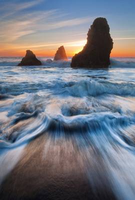
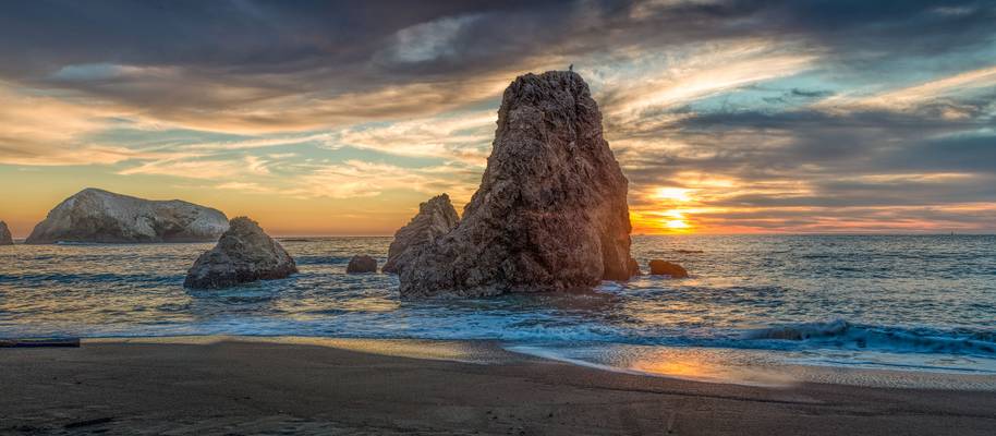
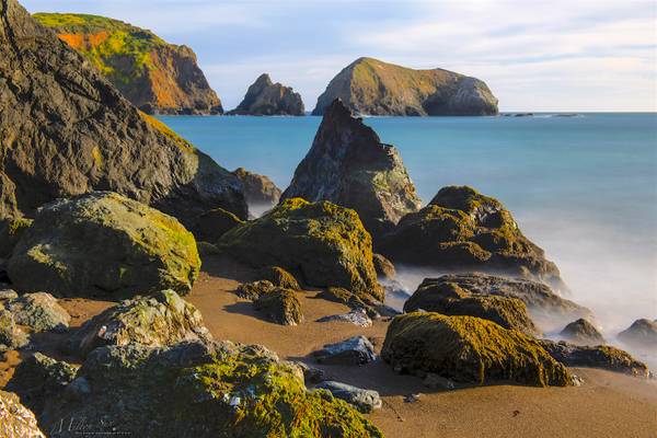
A layout of the rocks, hills and smooth ocean. Taken at Rodeo Beach, Marin County, California.
by David ruiz luna
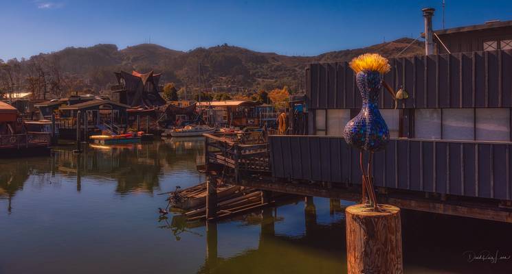
Sausalito (Spanish for "small willow grove") is a city in Marin County, California, located 7 km north of San Francisco.
The community is situated near the northern end of the Golden Gate Bridge.
Sausalito developed rapidly as a shipbuilding center in World War II, with its industrial character giving way in postwar years to a reputation as a wealthy and artistic enclave, a picturesque residential community (incorporating large numbers of houseboats), and a tourist destination.
California, USA September 2016
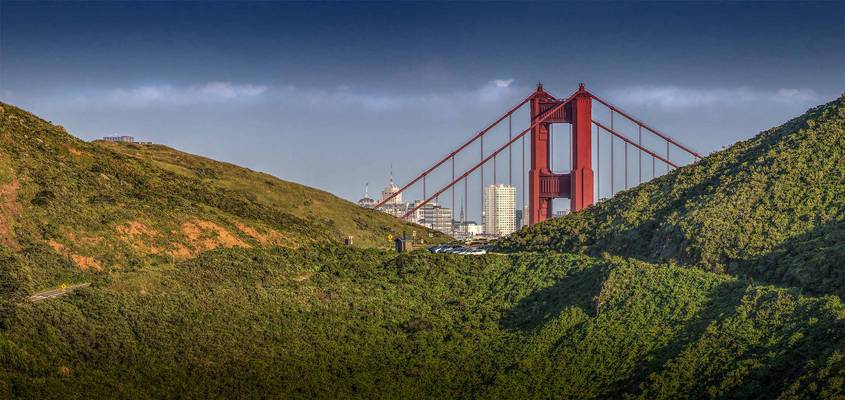
by Andrew Kearns
If you climb a hill on the road to Cronkite you can enjoy this view of the GGB. San Francisco is an incredible city but I enjoy the veil of the Marin headlands. I can escape the city yet be minuets from it. It's the best of both worlds within minuets of a right foot flexing. I was looking for an image that tells the story of Marin or help define the feel of the place. I think this is close!
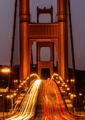
by Yi Jiang
From Vista Point
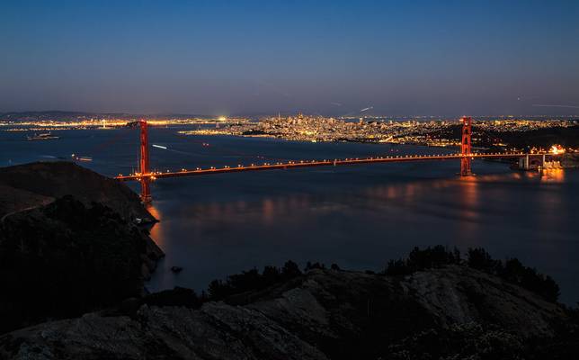
by Yi Jiang
From Hawk Hill at Dusk
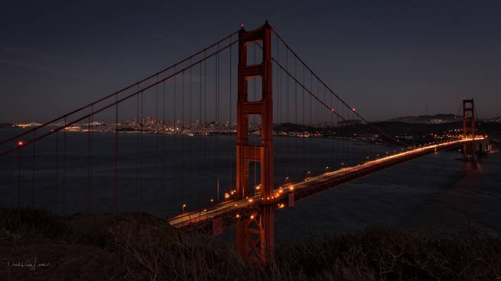
by David ruiz luna
Con esta foto aprovecho para felicitaros estas fiestas de Navidad, esperando que sean días felices y rodeados de los vuestros. Saludos y un gran abrazo.
With this photo I take the opportunity to congratulate you on these Christmas holidays, hoping they are happy days and surrounded by yours. Greetings and a big hug.
San Francisco, California, USA September 2016
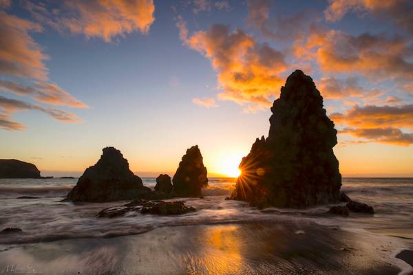
by Milton Sun
Rodeo Beach, Marin County, Northern California.
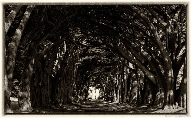
by MURALI NARAYANAN
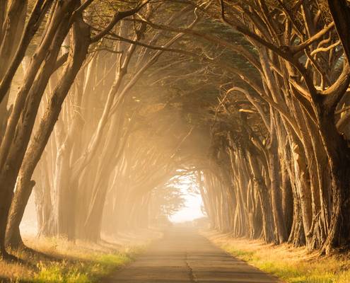
I was driving to the Point Reyes Lighthouse and found this cute cute Cypress Tree Grove on the way.
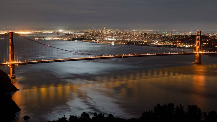
by Sandeep Thomas
- Marcus Aurelius.
| facebook | 500px | [ferpectshotz](http://ferp ectshotz.com/) |
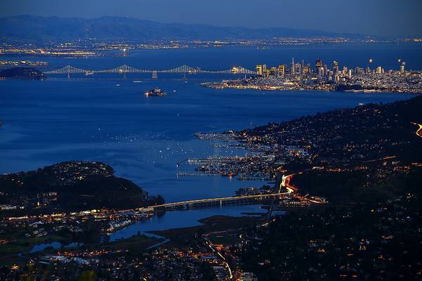
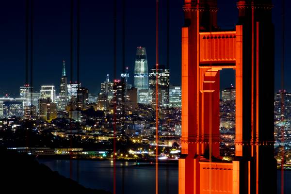
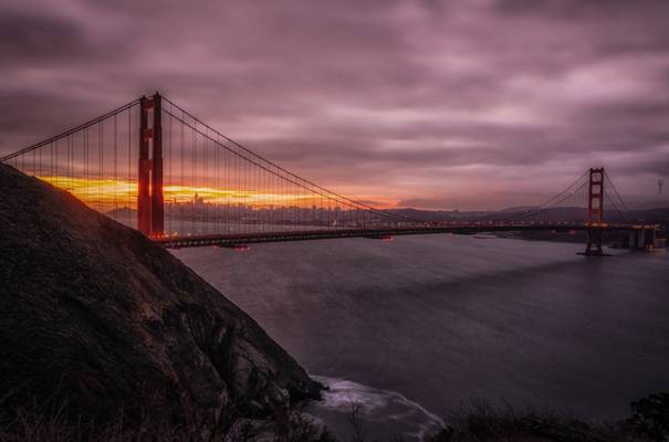
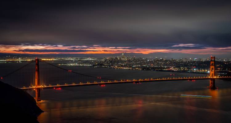
Here is a touristy shot from our trip to San Francisco last month. There are about three really popular view points for the fantastic golden gate bridge. I have taken shots from the other two locations before and wanted to cross this shot off the list. This is the farthest of the viewpoints and the one with most elevation. So this particular view provides a shot of the bridge and the downtown from a higher elevation. Which is a pretty unique perspective for Bridges.
We got here only after finishing the hike to coast trail and hence the lack of any color in the sky. By this time the sun has properly disappeared and there was not much light except for the warm city lights. Hopefully we will get a chance to get here during a proper blue hour.
![Stillness - [Minimum]](https://cdn.phoide.com/Thumbs/ea64c41b-ec9e-452d-a0ab-87f7ab693110.jpg)
by Milton Sun
No clouds, too bad; but no wind, so happy! Let me have an opportunity try to take a long exposure by the San Francisco Bay. The location of this spot is at Rat Rock Island, China Camp State Park, San Rafael, California. Really thank you for taking the time to view this image, and hope you are all having wonderful weekend!
/ Filters: Breakthrough 15-stop ND plus B+W CPL
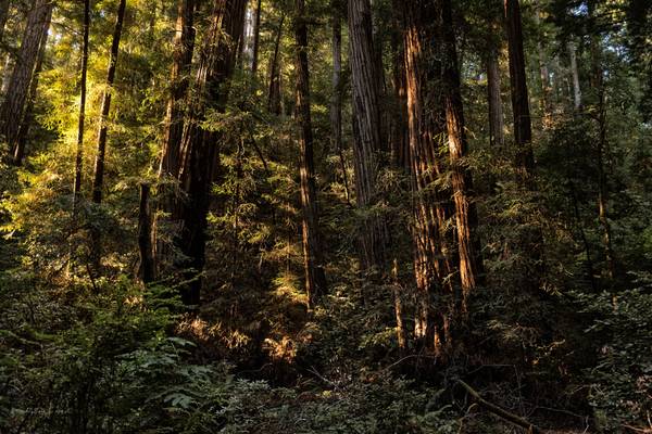
by David ruiz luna
Walk among old growth coast redwoods, cooling their roots in the fresh water of Redwood Creek and lifting their crowns to reach the sun and fog. Federally protected as a National Monument since 1908, this primeval forest is both refuge and laboratory, revealing our relationship with the living landscape.
Muir Woods National Monument California, USA September 2016
by Sandeep Thomas
- Voltaire.
| facebook | 500px | [ferpectshotz](http://ferp ectshotz.com/) |
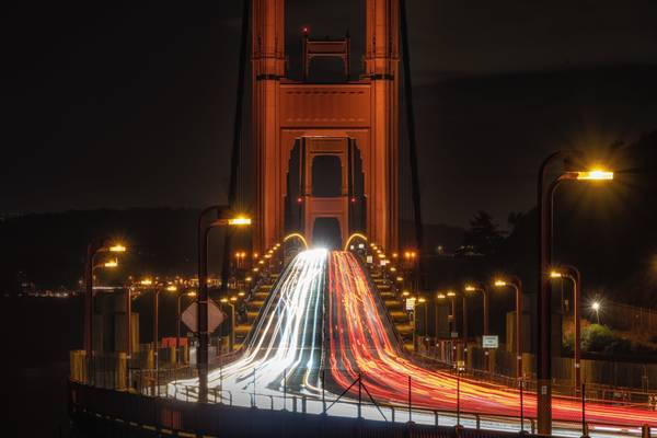
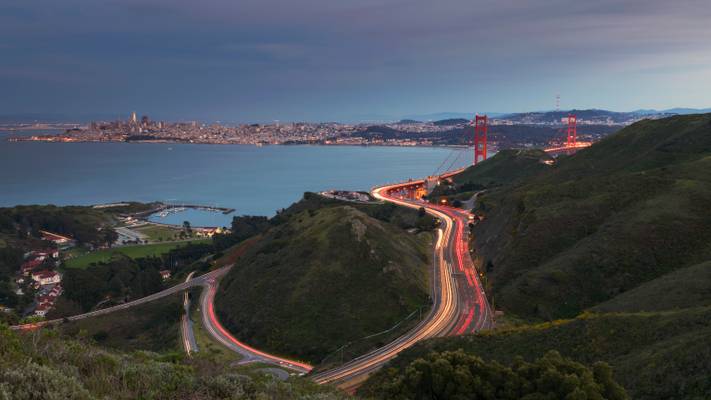
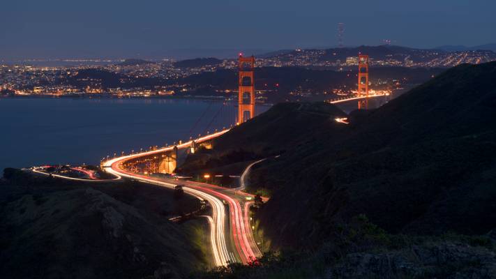
This shot was taken from the Pacific coast trail/Slackers hill trail on our way back after taking the shot that I posted earlier. By the time we reached the viewpoint, the blue hour was almost ending and we could see the sky turning way darker than it was before. I also wanted to get a nice streak of light trails to use as leading line to the bridge. For some reason traffic was unusually light at this time of the day and we had to try many more shots than normal to the trails that I liked.
I think this was the best one of the bunch when also considering the fact that how many airplanes and helicopters are also present in these skies. Personally, I would have preferred to take this shot a bit earlier but I like the way it turned out.
by Sandeep Thomas
- Percy Bysshe Shelley.
| facebook | 500px | [ferpectshotz](http://ferp ectshotz.com/) |
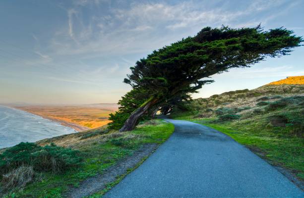
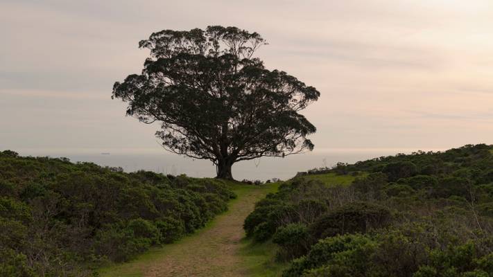
On our last trip to San Francisco, we took a leisurely drive on our first day through the Marin headlands and headed to Rt 1. The pacific coast highway goes through some exceptionally beautiful landscapes just north of the Bay Area and we wanted to see if we could find some interesting trails. We saw some truly amazing scenes but this little fire road caught our eye and we decided to take a quick walk to stretch our legs a bit.
As we started walking we came across this small hill and a saw this lonely tree standing against the backdrop of the Pacific Ocean. It was truly a sight to behold. We spend a wonderful evening enjoying the wind and watching the sea. I really wish that the broken swing set we found was in working condition, which would have made our evening even more perfect.
Thanks to all Phoide contributors to Marin County!
Most notably Sandeep Thomas, Andrew Kearns, Milton Sun, Yi Jiang, Jiri Hajek, Mario Calma, MURALI NARAYANAN and Birgit M..
