Muscogee (Creek) Nation
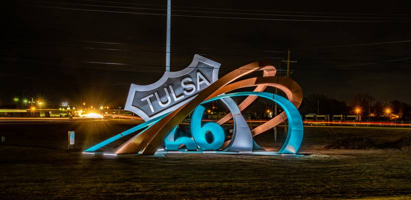
by Patrick Clancy
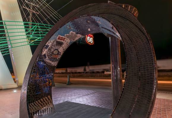
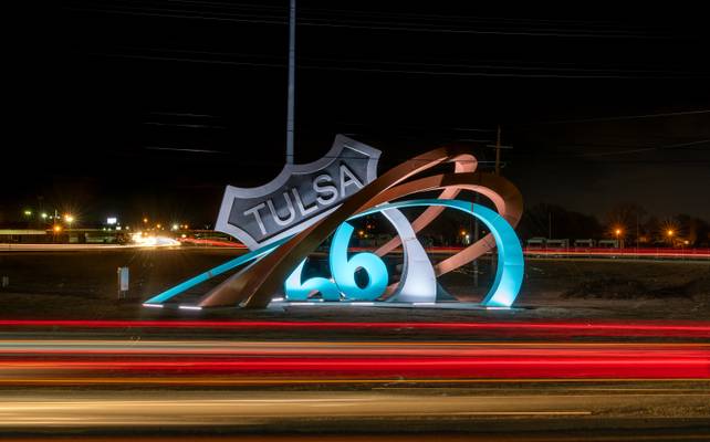
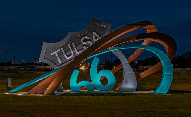
New sculpture to commemorate US Rt. 66. The sculpture is along the original alignment of the mother road. This was the route from 1926 until 1933 when a realignment move it a mile south of this location
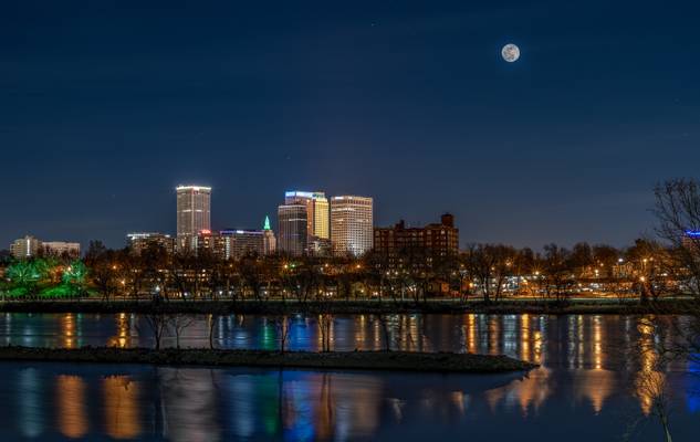
by Patrick Clancy
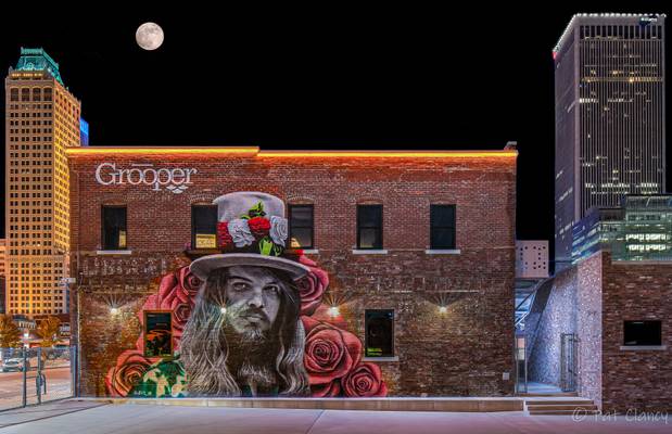
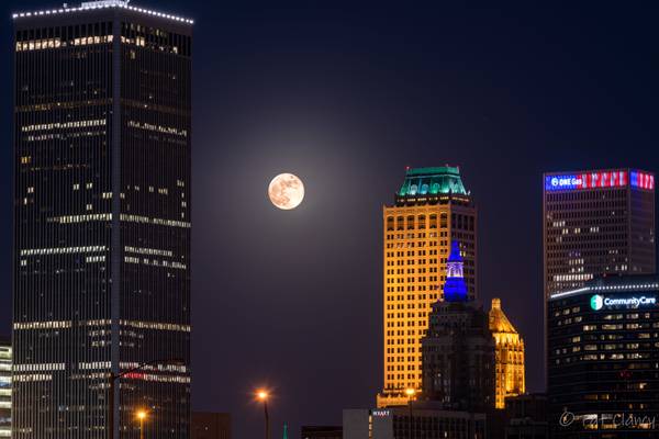
2 shot composite, One of the city scape and a one for the moon
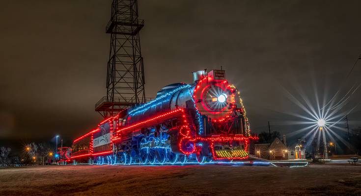
by Patrick Clancy
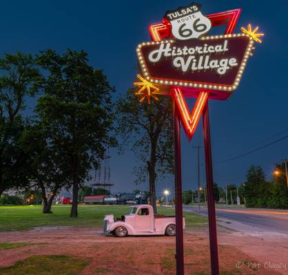
Rt 66 Village
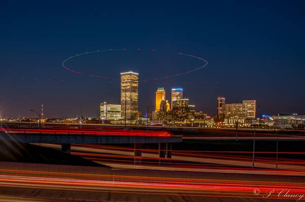
by Patrick Clancy
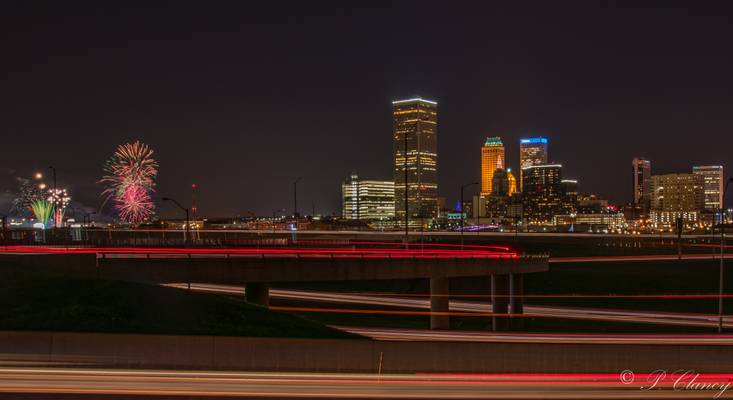
taking car light trails, while waiting on the fireworks to start. I got a helicopter as it circled the Williams Tower
by Patrick Clancy
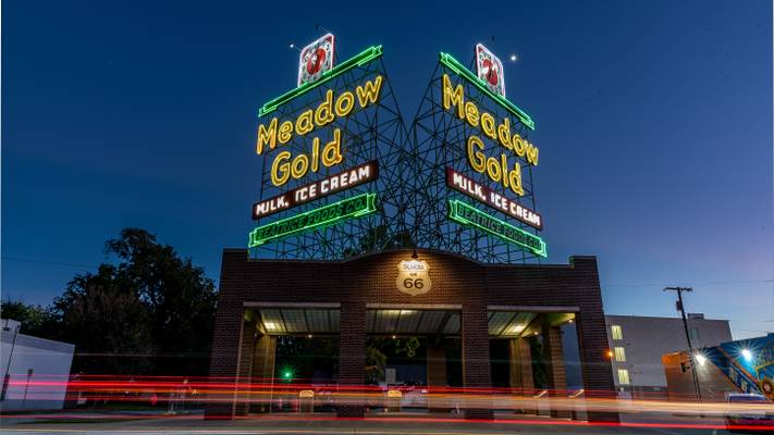
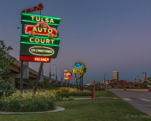
Replica Neon signs of motels that use to be along Rt. 66 in Tulsa. Lights on ceremony was Sept 15th. The small park is on the west side of the Cyrus Avery Bridge, which is closed now, but was the original Rt. 66 bridge over the Arkansas River
by Patrick Clancy
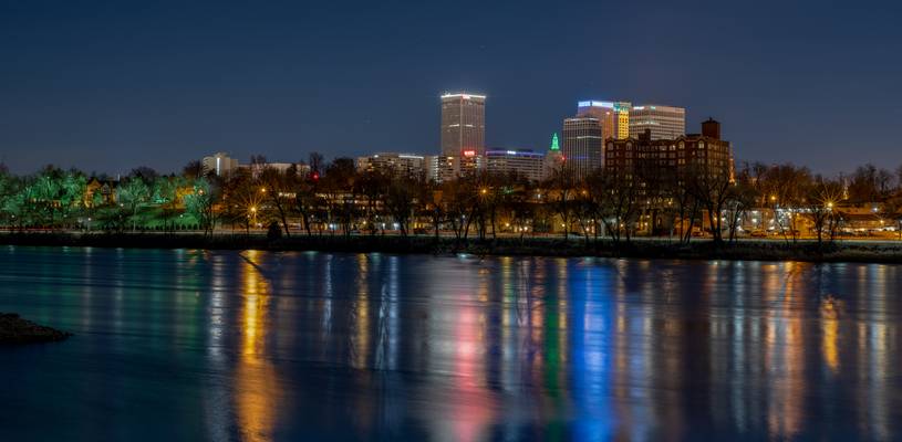
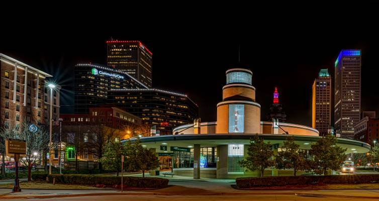
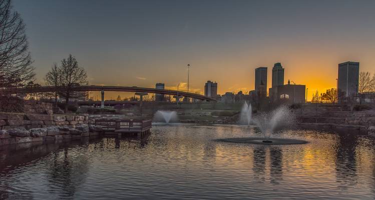
With some of downtown Tulsa in the background
by Patrick Clancy
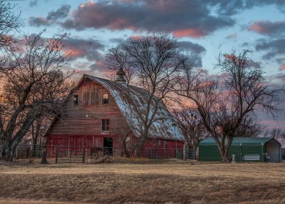
Again I love old Barns
by Patrick Clancy
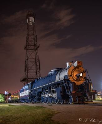
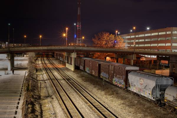
Cars are parked on what was the old passenger loading tracks
by Patrick Clancy
Could not decade if I like it better with or without the car trails, so I put both on
by Patrick Clancy
Tulsa's new sculpture to recognize the mother road
by Patrick Clancy
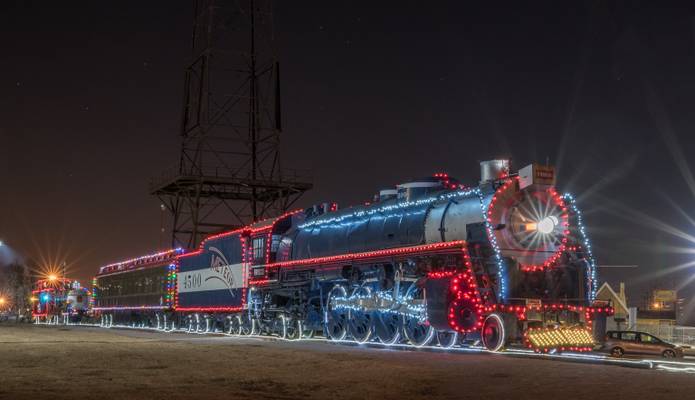
At Rt. 66 Village along historic US 66
by Patrick Clancy
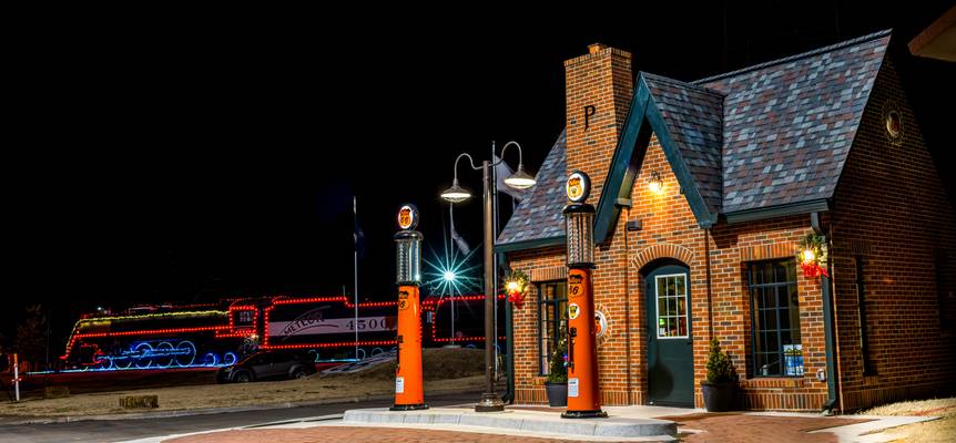
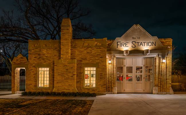
Mid 1930's Historic Tulsa Fire station, Restored
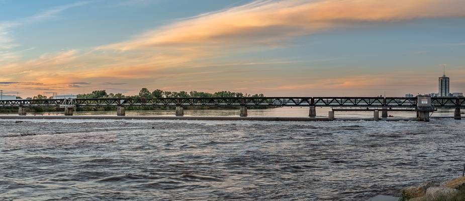
by Patrick Clancy
I think this is going to be demolished at some point in the future, it is now closed to foot traffic. The bridge was originally a Midland Valley RR bridge across the Arkansas River
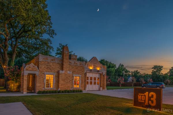
by Patrick Clancy
Tulsa Fire Station 13. This was an active fire station from the 1930's until the mid 1960's when it was left for a more modern facility. For the next 50 years the building was used for a variety of things mostly as warehouse space with no or very little upkeep and maintenance. The building was purchased in 2019 and restored to it's original condition complete with a vintage Fire Truck in the single bay. The facility is now used as an event center
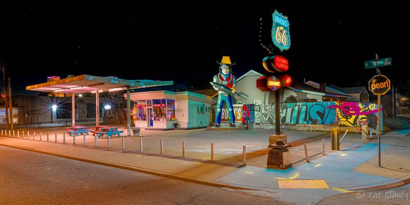
by Patrick Clancy
New Neon on Rt. 66 in Tulsa
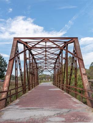
by Patrick Clancy
Bridge was built in 1921 and served traffic on US Rt 66 from 1926 until 1953 when a new bridge and portion of the highway was built a few hundred yards to the east of this location
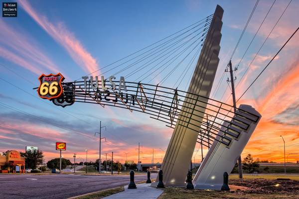
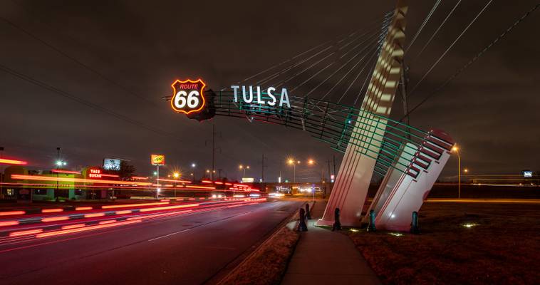
Route 66-Gateway in Tulsa, Oklahoma.
Route 66 gateway in Tulsa, Oklahoma.
Press "L" for a better view!
**Follow me on...
by Patrick Clancy
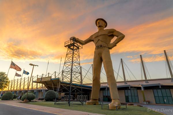
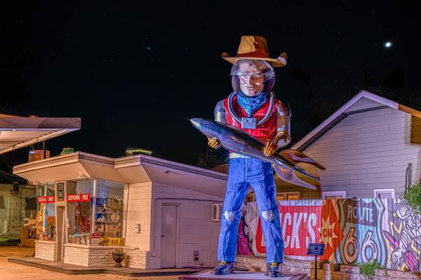
Buck Atom standing guard at an old gas station converted into a gift and souvenir shop on Rt. 66 in Tulsa
by Patrick Clancy
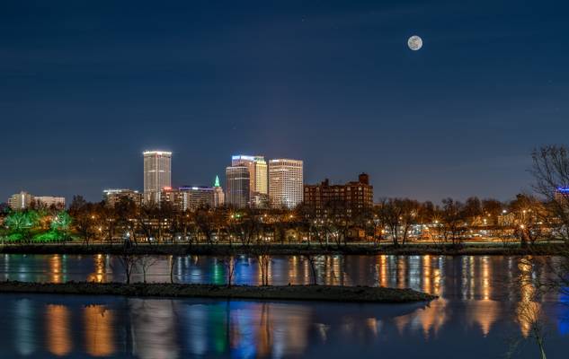
This was 2 hours before the eclipse started. Two shot composite one exposure for the city and most of the photo, with a second shot exposed just for the moon and blended together
by Patrick Clancy
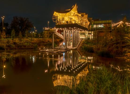
Light on the top change colors, I got one of each color here
by Patrick Clancy
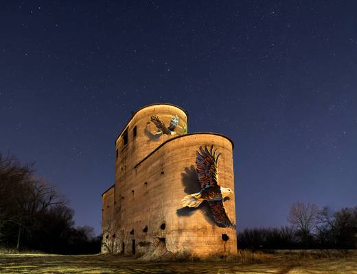
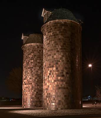
The old silos were on a large farm, when the farm was sold in the late 70's to make an industrial park, the agreement was the silos would remain.
by Patrick Clancy
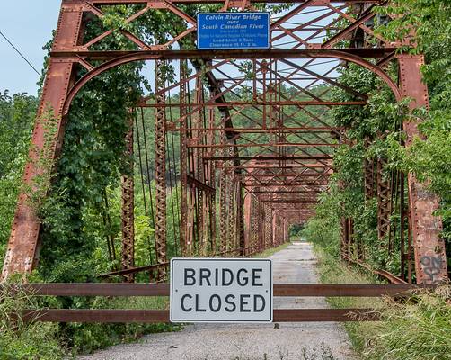
I like the sign that said "Eligible for the National Register of Historic Places" not actually on the register
by Patrick Clancy
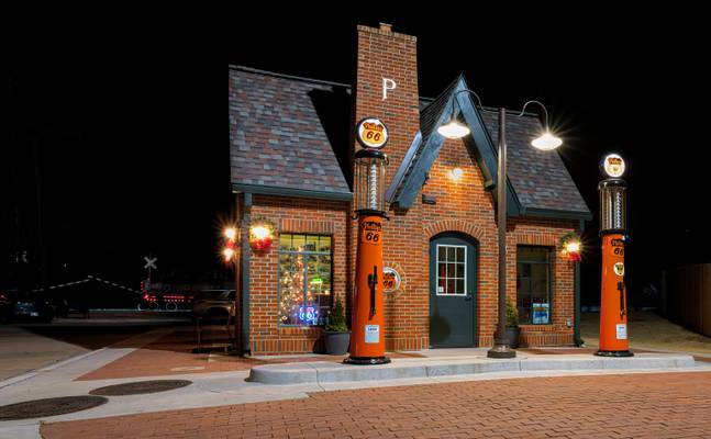
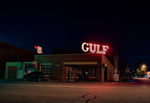
Sign shows Gas prices at 19, 21, and 23 cents per gallon
Thanks to all Phoide contributors to Muscogee (Creek) Nation!
Most notably Patrick Clancy.
