Peak District National Park
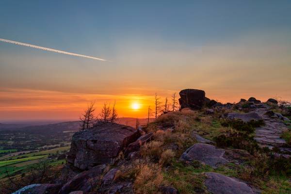
The Peak District National Park is a stunning area located in the heart of England. It is known for its breathtaking landscapes, rolling hills, and picturesque villages. The park is a popular destination for photographers, offering a wide range of photography locations. From the rugged moorlands to the tranquil valleys, the Peak District National Park has something for every photographer. Some of the most popular photography locations in the park include Mam Tor, Stanage Edge, Kinder Scout, and Dovedale.

by Richard Down
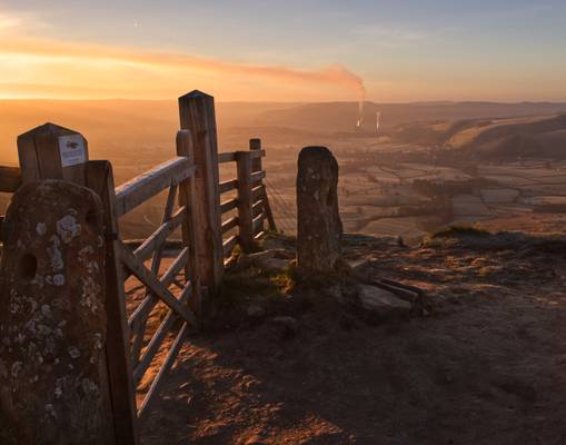
from the ubiquitous gate on Great Ridge.
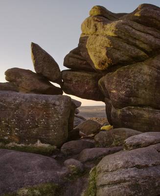
by Richard Down
Higger Tor
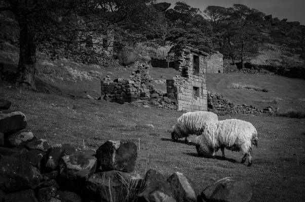
by Alan Taylor
My website: Deep Mono Photography
The Roaches in the Peak District.
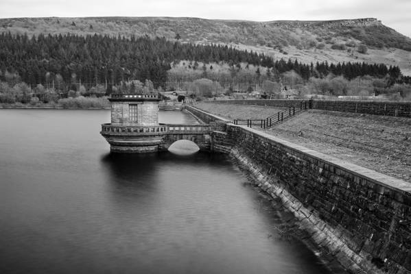
by Richard Down
Peak District National Park
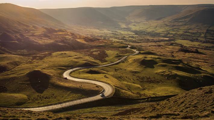
by Richard Down
Edale Valley, Peak District National Park
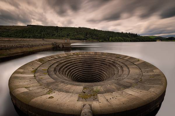
by Pete Rowbottom
A familiar location but something a bit different, you'll probably have seen this location shot with water flowing over the top, despite all the rain we've had lately the levels are right down at the moment leaving it totally exposed out of the water so I've gone super wide to get the lot in, and against a fairly angry sky makes for a quite unusual take on this place.
The set up for this was iffy to say the least with a lot of moneys worth of gear hanging over a wall pointing down with huge 150mm filters on the front, and the rear leg of the tripod rested (a bit precariously) on my camera bag to give extra height need to get right over the wall and looking down. While setting it up I had visions of the lot dropping off over the wall, but thankfully that didn't happen !
Even taking it down really had to be careful, bit of a hold your breath moment for sure!
Nikon D850 Nikon 14-24 F/2.8 @ 14mm NiSi S5 System NiSi 150mm 10 stop NiSi 150mm 3 stop medium gnd Fotopro T74-C tripod Fotopro LG-9R ballhead
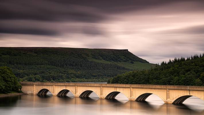
by Pete Rowbottom
Just had a great couple of days up in the Peak District scouting new locations and trying out the new camera for the first time, I wasn't especially lucky with the light on this trip at each end of the days but certainly came back with a few dramatic images from the afternoons, and a good list of new spots with potential for the next visit.
I hadn't planned to shoot here today but the contrasty light and dramatic nature of the sky when I was passing by changed my mind.
Naturally as soon as I had set up it started raining and with nowhere to shelter it was just a case of covering the camera up and getting wet for 5 minutes until it passed by, I often like the light that follows a rainstorm so it's worth hanging around rather then running for the nearest tree. it soon blew over and I was able to get my shot.
Nikon D850 Nikon 24-120 f/4 @ 65mm Fotopro T-74C tripod Fotopro LG-9R ballhead Nisi V6 System NiSi 100mm 10 stop filter NiSi 3 stop medium gnd
1S064 f/11 88 seconds
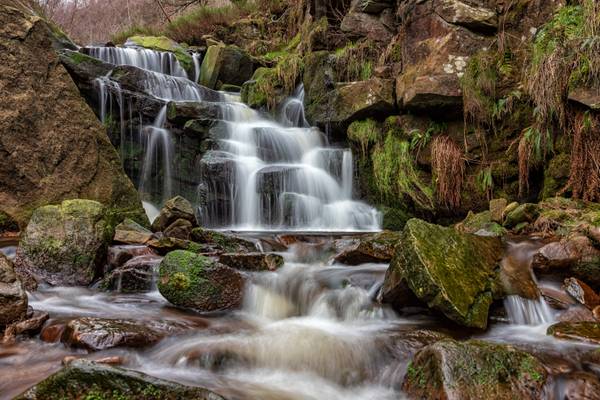
by Graham Morris
The downside to car sharing...... apart from listening to awful music.....after leaving my tripod in the car the other week (I did realise before we went too far!) I managed to surpass myself this week by leaving my walking boots, hat and gloves in the boot.....the upside being I now own a pair of wellies!
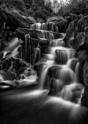
by Graham Morris
Another one from The Peak District
by Richard Down
Lathkill Dale, Derbyshire Peak District
by Alan Taylor
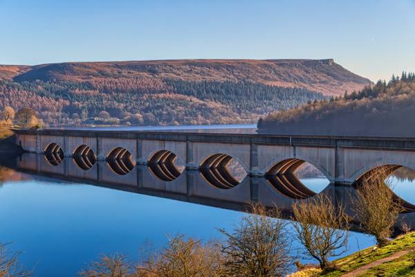
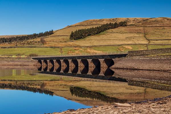
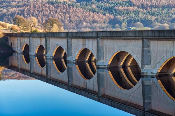
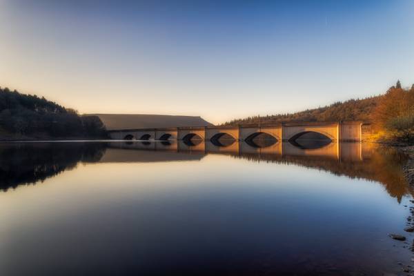
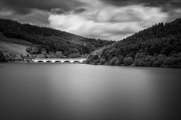
Ladybower Reservoir is a large Y-shaped reservoir, the lowest of three in the Upper Derwent Valley in Derbyshire, England. The River Ashop flows into the reservoir from the west; the River Derwent flows south, initially through Howden Reservoir, then Derwent Reservoir, and finally through Ladybower Reservoir.
The area is now a tourist attraction, with the Fairholmes visitors' centre located at the northern tip of Ladybower. The east arm of the reservoir, fed by the Ladybower Brook, is overlooked by Hordron Edge stone circle.
by Pete Rowbottom
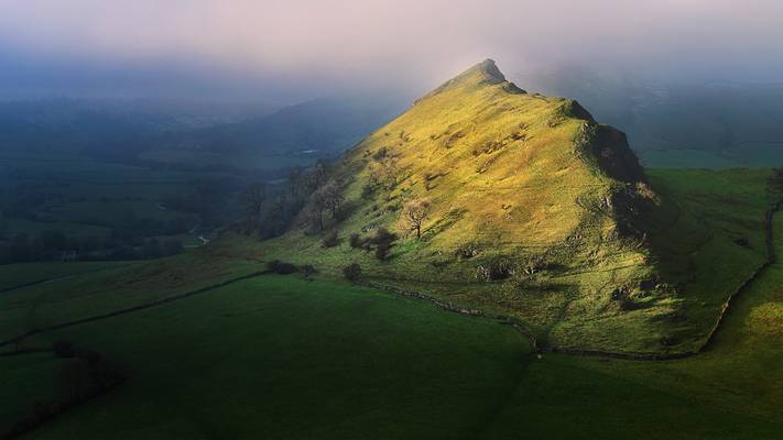
So this is a NEW picture, it's fair to say I've almost forgotten what one of those is, Lockdown hasn't treated me well, I've felt very trapped and very fed up about the whole not being able to go anywhere, I''ve not been on here as much as well as I really didn't want to see all the places I was being stopped from visiting. I know everybody is in the same boat but it has affected me adversely to the point where yesterday I just had to get out.
We decided to go for our allowed exercise (walk) in the Peak District where there had just been a recent dusting of snow, the drive over was interesting with nil visibilty in parts and thick snow, I envisaged the scene I wanted to photograph, and indeed 1 mile away everything was covered in snow but the mist was very dense so it would be a challenge, in this image there a little bit of mist at the the very summit, minutes before you couldn't see any of it!
Arriving at this spot I was quite amazed to find that this was the only hill in the area not to be completely covered in snow, not even a flake! also the mist was that bad you could hardly make the hill out, just so glad to be out again with the camera I decided to just stand there and wait to see if I got a break in the weather, as you can see, amazingly it happened, looking at the scene it didn't seem that it ever would but amazingly it did! so pleased, a worthwhile journey and the best image I've got from this location to date, it really didn't last long either with the clag coming back in shortly afterwards and hardly lifting again all day, enjoyed the walk, and came back with an image, happy camper, so good for the soul. Hardly saw anyone else all day, I'm gonna continue to pick quiet locations to travel to for a walk and hopefully some photography, all it needs is common sense.
Portfolio of images on my own website here
by Alan Taylor
My website: Deep Mono Photography
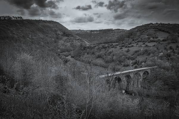
The Headstone Viaduct across Monsal Dale in the Peak District.
by Richard Down
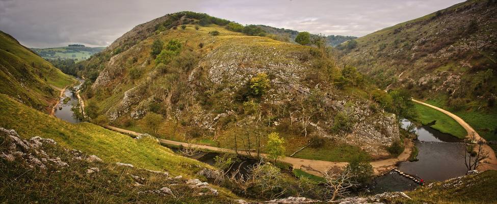
3 shot panorama from the edge of Thorpe Cloud, looking down onto the stepping stones. It's a shame about the ash trees, which have mostly died now.
by Graham Morris
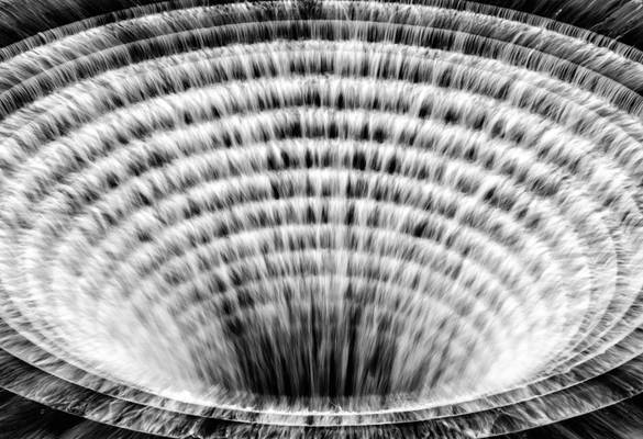
Or plughole as the locals call them, apparently.
by Alan Taylor
My website: Deep Mono Photography
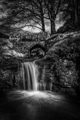
A 5-shot HDR with a 3-stop ND filter for good measure. Taken on a jaunt up to Three Shire Heads with Liz and Kev Palmer.
Three Shire Heads is situated at grid reference 010686 on the border of Cheshire, Staffordshire and Derbyshire and is a point where four packhorse routes meet. There is a fabulous high-arched stone packhorse bridge beside which is Panniers Pool where the little ponies with their heavy panniers or saddlebags would have been allowed to drink.
Back in the 19th century, Three Shire Heads was a place where lawbreakers or coiners evaded capture by crossing into a neighbouring county as years ago it was only possible for police to act within their own county limits. The local settlement of Flash takes its name from the trading in counterfeit money by these coiners, the word flash being associated as dishonest or not of genuine quality i.e. flash men (thieves), flash money (counterfeit currency) or flashy (not as good as it looks.)
This was also said to be the setting for illegal prize fights and cock fighting as the perpetrators of such crimes could escape and soon disappear in this wild and rocky scenery. It is reputed that a court was held on this spot in the 14th century by order of the Black Prince, Lord of the nearby Forest of Macclesfield, relating to tenants of the counties of Derby and Stafford who were accused of trespass into the forest.
by Alan Taylor
My website: Deep Mono Photography
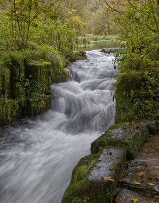
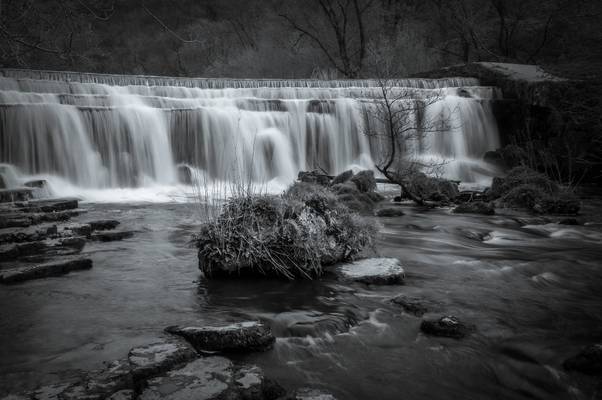
Downriver from the Headstone Viaduct is the picturesque four-step weir that is a favourite picnic spot on the River Wye.
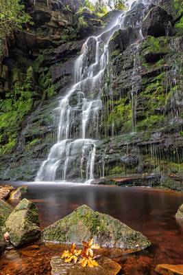
by Graham Morris
with a nice leaf just for good measure, it kindly hopped onto the rock :-)
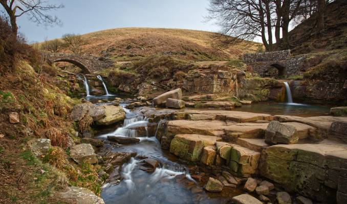
by Richard Down
The meeting place of Cheshire, Staffordshire and Derbyshire
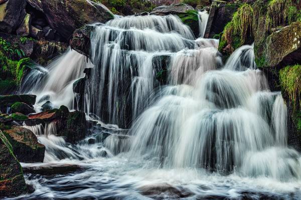
by Graham Morris
Peak District
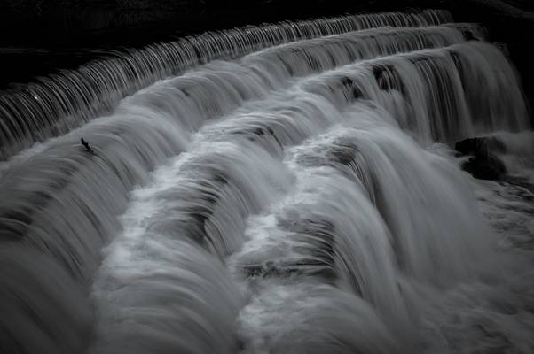
by Alan Taylor
My website: Deep Mono Photography
Downriver from the Headstone Viaduct is the picturesque four-step weir that is a favourite picnic spot on the River Wye.
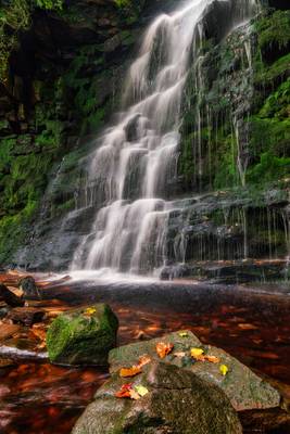
by Graham Morris
leaves just kind of fell on the rocks.......honest.......
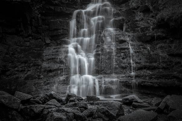
by Alan Taylor
My website: Deep Mono Photography
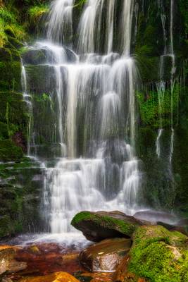
The path to Black Clough Falls is arduous and can be quite tricky in places, but is worth the effort to see this hidden gem of the Dark Peak. Many thanks to Graham Fox for showing us how to get here, even though that particular expedition was abandoned due to bad weather :o(
I will be working on the south coast for the next few months but should (hopefully) be able to keep up with Flickr this time. If anyone has any tips for photographic locations around Weymouth/Portland, please let me know!
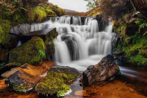
by Graham Morris
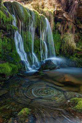
Or is it Fairbrook? One of a number of small falls around the Kinder Scout area.
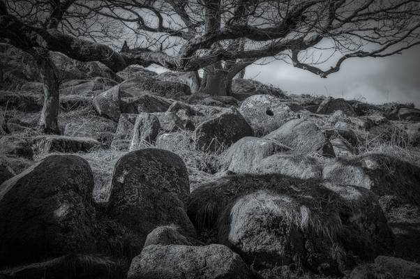
by Alan Taylor
My website: Deep Mono Photography
Bole Hill Quarry is an "Elephant's Graveyard" of abandoned Millstones. It was first worked for grindstones in the late 19th century, but the majority of the stone was quarried from here between 1902 and 1910, for the 1.25 million tons of stone used in the Derwent and Howden dams. Gritstone millstones were known by millers as “peaks”, and came in pairs. Grain was ground between the close fitting pair of stones to produce rough flour. Gritstone millstones fell out of fashion because they had a tendency to turn flour a grey colour. The were replaced with churt composite millstones, or “French” stones, which although more expensive to manufacture produced a white flour, and needed re-facing less often. Millstones from this quarry are reported to have been transported to the river Trent by placing an axle through 2 millstones and driving them over the moors. From the Trent they were transported by river to Hull and then distributed around the country from that port.
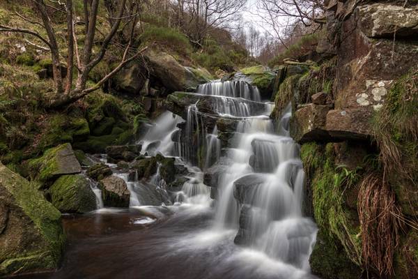
by Graham Morris
Another shot from a couple of weeks back.
by Alan Taylor
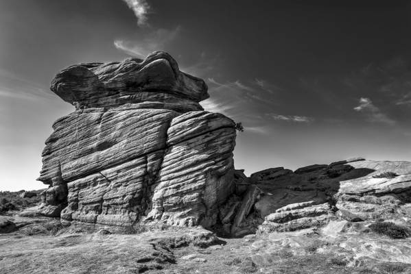
The curiously shaped Mother Cap stone at Surprise View near Hathersage in the Peak District.
by Alan Taylor
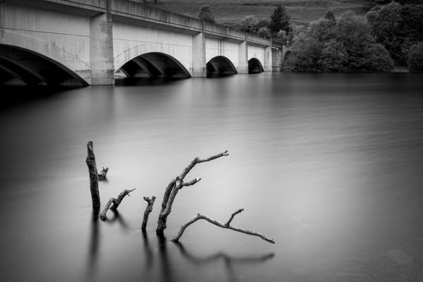
The building of the reservoir resulted in the 'drowning' of the villages of Ashopton and Derwent (including Derwent Woodlands church and Derwent Hall). Ashopton stood roughly where the road to the Snake Pass met the Snake valley. The buildings in Ashopton were demolished before the reservoir was filled, but much of the structure of Derwent village was still visible during a dry summer some 14 years later. The narrow stone Packhorse Bridge over the Derwent was removed and rebuilt at the head of the Howden reservoir. The clock tower of the church had been left standing and the upper part of it was visible above the water level until 1947, when it was seen as a hazard and demolished with explosives on 15 December. en.wikipedia.org/wiki/Ladybower_Reservoir
by Richard Down
Chatsworth House
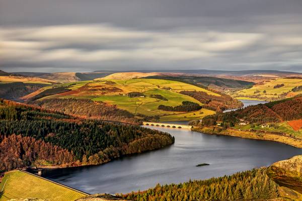
by Graham Morris
With a splendid view over Ladybower reservoir. Well I think it is
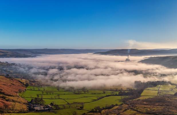
by Graham Morris
nice bit of cloud inversion
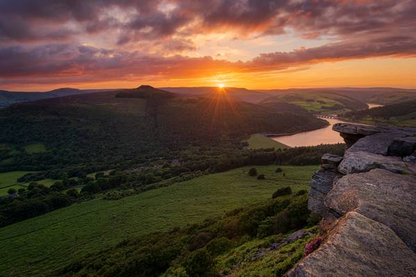
by Pete Rowbottom
Following on from the last image of Bamford Edge... I don't usually post several images from a location in succession but it seemed right to do so on this occasion as this directly follows the last image in terms of the reason for being there.
A fabulous sunset and and sky on Bamford Edge which, if we had left it much longer we would have missed, "on the last minute" would probably be the best way to describe our arrival here.. I do like to get to places early and set up and wait but a visit to a friend of mine nearby did delay us a while, as did the climb up to here after a Steak and Ale Pie in the Pub.... luckily it all worked out nicely, apart from being very out of breath for quite a while!
I was hoping to get the drone up here for a timelapse of the sunset but the wind had other ideas, it took most of my concentration to watch where I was standing here as about a foot behind me was an enormous drop which I really didn't fancy ending up at the bottom of...
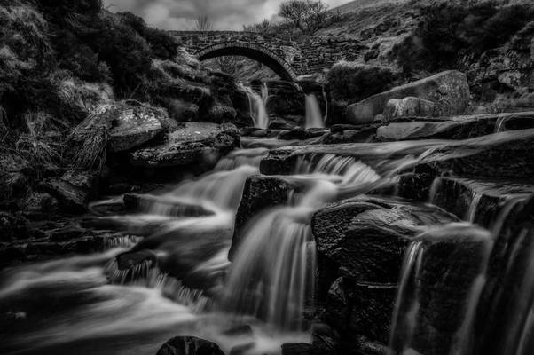
by Alan Taylor
My website: Deep Mono Photography
I used a three-stop ND filter to slow down the water but I wasn't too pleased with the results so I added a second three-stop filter to produce this result.
Taken on a jaunt up to Three Shire Heads with Liz and Kev Palmer.
Three Shire Heads (also known as Three Shires Head) is the point on Axe Edge Moor where Cheshire, Derbyshire and Staffordshire meet, at UK grid reference SK009685, or 53.213°N 1.987°W. It is on the River Dane, which marks the Cheshire border in this area. On the east of the river, the border between Staffordshire and Derbyshire runs north-east for about a mile to Cheeks Hill, on the higher regions of Axe Edge Moor. From Cheeks Hill the border runs south then east to the head of the River Dove. The main landmark is a packhorse bridge. The bridge is Grade II-listed, and was probably constructed in the late 18th century. Wikipedia
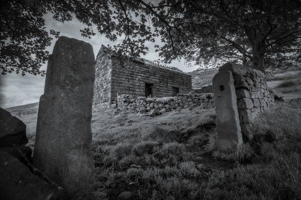
by Alan Taylor
My website: Deep Mono Photography
The barn is now only used as a shelter for the sheep that roam about these fields.
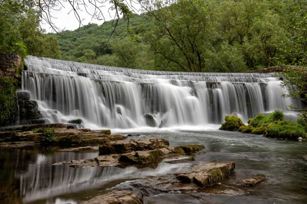
by Graham Morris
It's not often I come away from a day out with more than 5 half decent shots so i'll have to bore you with another of this lovely location!
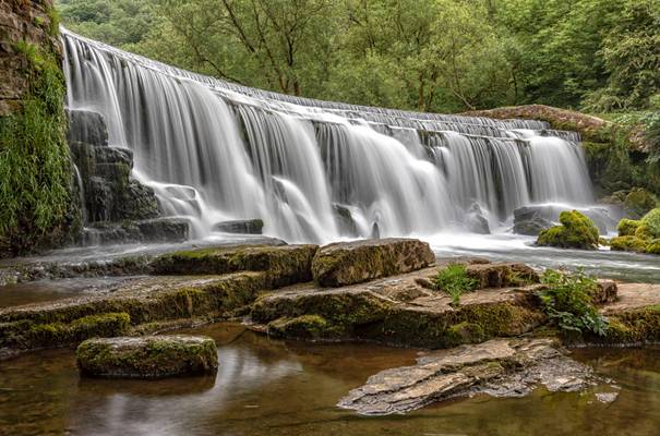
by Graham Morris
Weir side story........it's not very often I can be bothered with a write up so bare with me it might get a touch dull....... Another shot from Mondays trek to the Peak District with the Welsh one, just off the Monsal Trail. When we arrived at the top of the weir we were greeted by half a tree, ok might have been a large branch, sat nicely on the first shelf and spoiling the view somewhat......after a half hearted attempt to move it by chucking a few small rocks at it and trying to reach it with a tripod it was obvious said tree/branch wasn't going to budge. At some point I decided to go in for a paddle, I mean seriously where is Paul when you need him? Tree/branch eventually moved with the help of the tripod and the forces of nature.................. At which point 3 toggers on the other side of the river decide that the view is quite nice now and they'll stay after all and proceeded to stand in the same spot for an hour blocking our shots.......... Is it just me or do toggers fit nicely into two categories, nice friendly ones that don't mind sharing a few helpful hints or tips and coconut ring or two, or ones that are so far up their own backside?.....best stop there it's a family show!
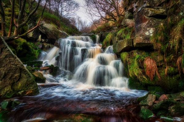
by Graham Morris
Blimey, triple waterfall posts....I can only apologise. I love the walk to get to this series of waterfalls. I normally don't have the old headphones in when walking but I did this day and this popped up on shuffle as this came into view, perfect timing, if you like The Appleseed Cast of course
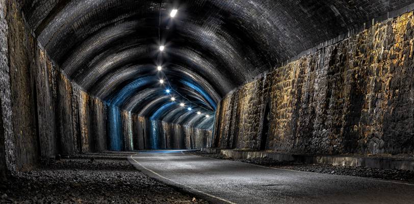
by Graham Morris
Monsal Trail, Peak District
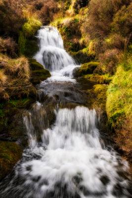
by Graham Morris
Fairbrook, Peak District
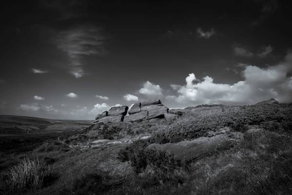
by Alan Taylor
The Roaches (from the French les roches - the rocks) is a prominent rocky ridge above Leek and Tittesworth Reservoir in the Peak District of England. The ridge with its rock formations rises steeply to 505 m (1,657 ft).
Along with Ramshaw Rocks and Hen Cloud they form a gritstone escarpment, which is popular with hikers, rock climbers and freerunners. It is often very busy especially at weekends.
The Roaches Estate which includes Hen Cloud was purchased by the Peak District National Park Authority in the 1980s to safeguard the area from adverse development. From May 2013 Staffordshire Wildlife Trust took on the management of the Roaches Estate.
In clear conditions, it is possible to see much of Cheshire and views stretching as far as Snowdon in Wales and Winter Hill in Lancashire.
The Roaches are the most prominent part of a curving ridge which extends for several miles from Hen Cloud in the south to Back Forest and Hangingstone in the northwest. At the top there is a small pool called Doxey Pool that is, according to legend, inhabited by a water spirit. Nearby are the broad hills of Gun and Morridge. Wikipedia
*"Most wild wallabies are in this country thanks to Capt Courtney Brocklehurst, a Staffordshire landowner, who was killed in the Second World War. After his death, war regulations decreed the disposal of his private zoo at Roaches House, near Buxton, and five red-necked wallabies were released into the countryside. By the 1960s, numbers had risen to 50. And, although sightings are still reported today, numbers have dwindled due to road kills, dogs, foxes and disturbance." Mow your grass with a wallaby
Although I've never personally seen a wild wallaby in the area as they have probably all died out by now, there is a stuffed wallaby from the area on display in The Potteries Museum and Art Gallery*
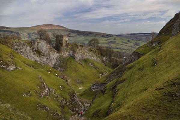
by Richard Down
Castleton, Peak District National Park
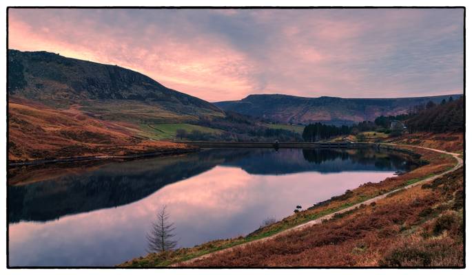
by Graham Morris
sunset of sorts......
by Alan Taylor
My website: Deep Mono Photography
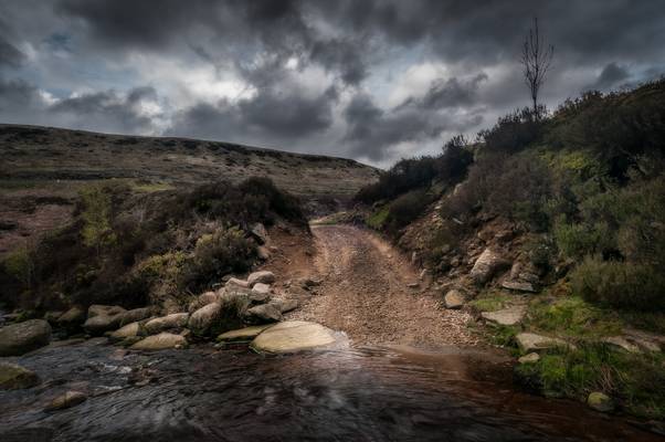
On the path up to Black Clough Falls, another track branches off, crosses the stream and winds its way up into the hills.
I was processing this one for a B&W conversion, but as it reached this stage in the process I decided that I liked it like this.
Thanks to all Phoide contributors to Peak District National Park!
Most notably Graham Morris, Alan Taylor, Richard Down and Pete Rowbottom.
