Umpqua National Forest
by Bonnie Moreland
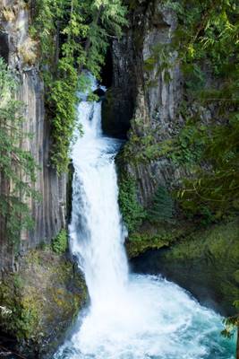
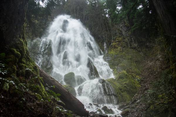
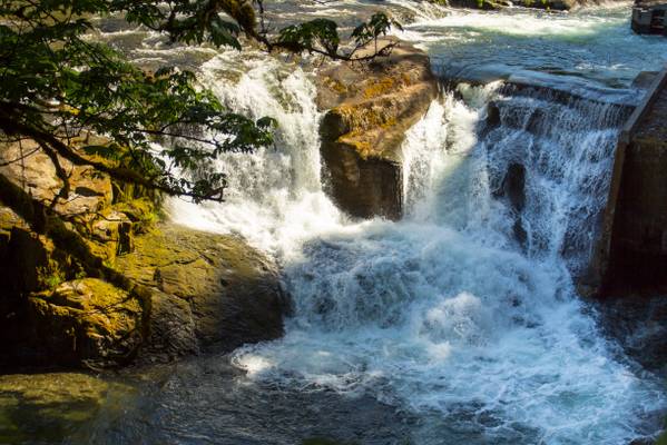
View of the lower part of falls.
by Bonnie Moreland
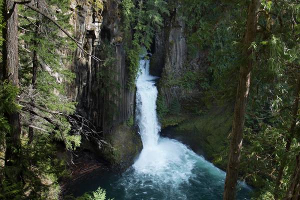
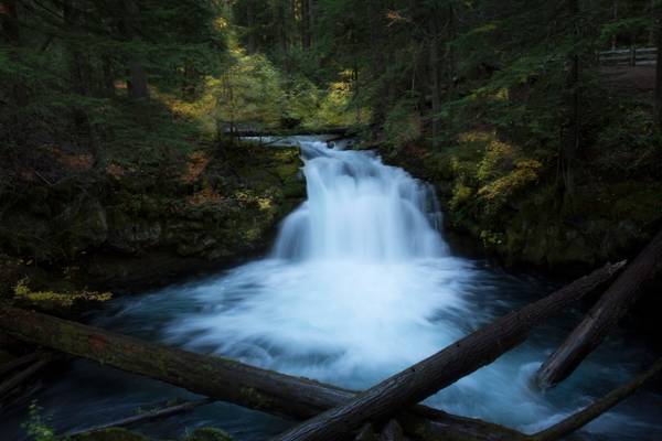
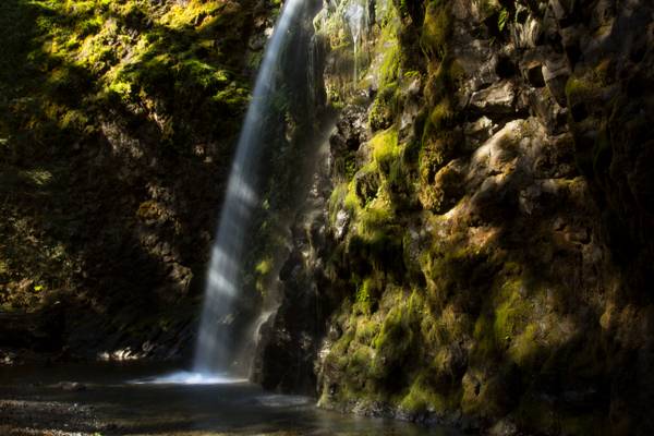
Whitehorse Falls is the smaller but arguably prettier of the two named waterfalls along the Clearwater River. The falls occur where the river sluices through a narrow trough in rhyolitic bedrock and suddenly crashes 14 feet over a wall into a large pool below. Though the falls are located several miles downstream of Clearwater Falls, there is often less water present in Whitehorse Falls due to the integration of the river in the North Umpqua Hydroelectric system. The flow is consistent all year long, just not in tune with its natural levels nearly as much as it should be.
Access to the waterfall and its trail is only through U.S. Highway 138. The area around the waterfall is surrounded by moss-covered rocks and canopy of old growth Douglas-fir forest.
by Bonnie Moreland
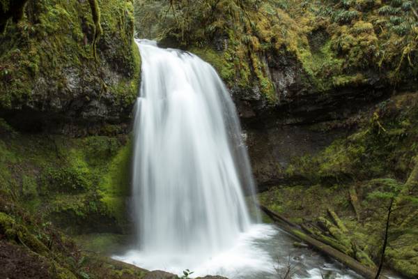
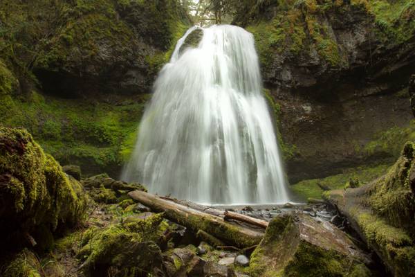
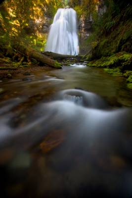
Steamboat Creek curtains over a wide bench into a calm pool. In the winter the 20 foot falls are rather impressive thanks to the large drainage basin of Steamboat Creek, but the low elevation limits the high flow to only the wettest months, and by May the falls are a shadow of their former self. This would be a slightly more impressive attraction in the summer if a fish ladder, which draws off a majority of the creek, weren't constructed next to the falls. All around the falls are exposed rock slabs.
by Bonnie Moreland
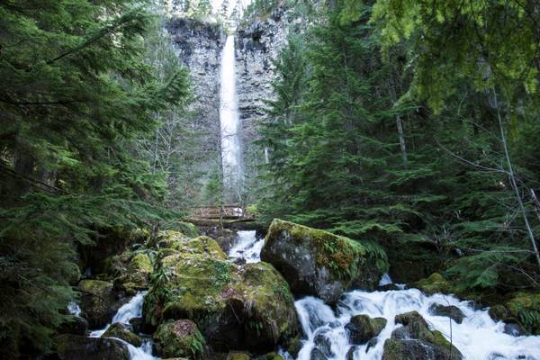
Full view of waterfalls
I took a business trip down to Roseburg last week, and aimed to hit a couple of new waterfalls on the way back. I printed directions for Moon Falls...
by Bonnie Moreland
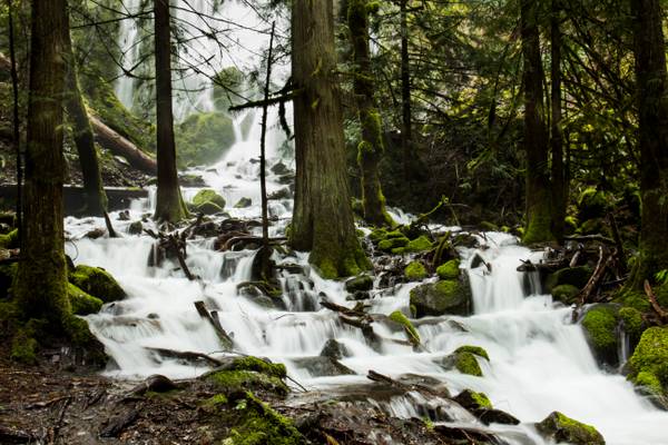
Heavy snow melt has made this waterfall overflow its normal flow area. It has spilled out over the banks and is encompassing the surrounding trees. The actual waterfall is seen as that veil of white behind the trees, but I thought this part was more interesting.
Presumably the largest waterfall along Alex Creek, Moon Falls is an exceptional waterfall, veiling about 100 feet over a sharp wall of jagged basalt - a stark contrast to the smoothly rounded cliff at its downstream sibling, Spirit Falls. Moon Falls suffers from a bad case of foreshortening due to the slightly less than vertical pitch near the top of the falls - and a few trees at the bottom of the falls don't help the situation either. Late in the year, Alex Creek loses much of its volume at this point in its course, so the falls may not be as impressive.
by Bonnie Moreland
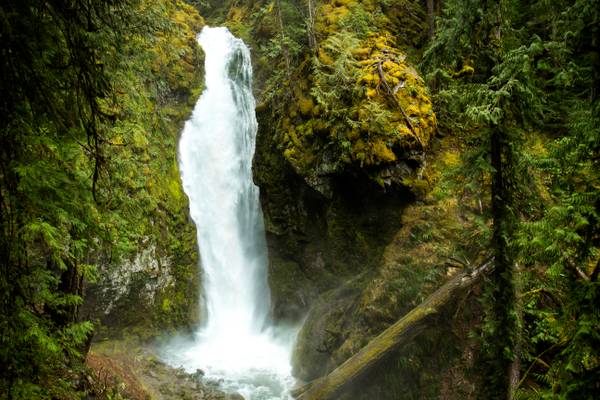
Fall Creek Falls is one of the more accessible waterfalls in the North Umpqua corridor. Dropping about 120 feet over 4 tiers, the falls spray into a small amphitheater before cascading down through a very scenic gorge to the Umpqua. The falls consist of four tiers, of approximately 10, 40, 20 and 50 feet - with the uppermost tier only being visible from the top of the falls. This is at the bottom tier, obviously. Though the falls face south, they are well shaded in the morning and evening, but during mid day, the sun will illuminate the entire basin. I had to wait about an hour until the sun moved out of the basin and was just shining through the trees above and hitting the falls.
by Bonnie Moreland
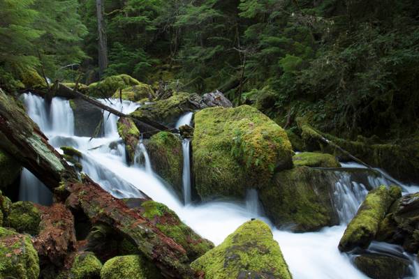
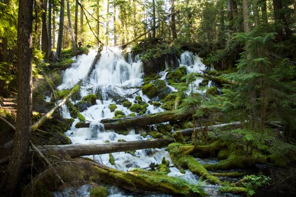
High up in the Umpqua River drainage, the springfed Clearwater River bubbles out of the ground and starts flowing through placid pools and never ending logjams. The first real interuption in the course of the Clearwater is this exceptionally scenic but not terribly impressive 29 foot cascade. The ground around the falls is permeated with soft soil and thousands of intertwined roots, allowing the river to seap in and out of the ground at will. The result is a waterfall that appears to be springing from the ground. While there is only about 10 feet of legitimate vertical waterfall here, this is one of the few cases where we bend the rules to allow the mossy cascades below the falls to be included as part of the falls, largely because the river is dead calm both above and below, and it is easy to identify where the falls begin and end.
Thanks to all Phoide contributors to Umpqua National Forest!
Most notably Bonnie Moreland.
