Weymouth and Portland

by jim stephenw
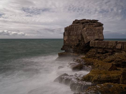
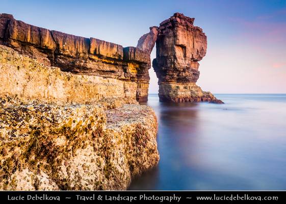
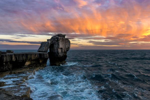
The name "Portland Bill" has its roots in "The Beel" as named on early maps. This derived from the beak shape of Portland Bill. From 1588 onwards, when the area was part of a crucial Armanda invasion-warning network, it was often named "The Beacon". Quarrying began at Portland Bill in the mid 19th century but remained a small scale operation into the early 20th century. Quarries were on the west side of the bill and stone was transported along a short tramway to a shipping quay, now the site of Red Crane. An area absorbed into the quarries was White Hole, where quarrymen cut away a natural arch to form Pulpit Rock in the 1870s. It was intentionally left as a quarrying relic and was formed with religious associations; the large slab of rock leaning against the main stack depicted an open bible leaning on a pulpit. Surrounding the rock is the rather charmingly-named Snail Shore, a surface containing snail, oyster and mollusc shells that once made up a Jurassic seabed thriving with marine life around 150 million years ago.
by jim stephenw
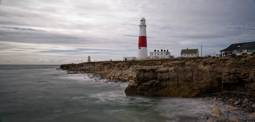
The name "Portland Bill" has its roots in "The Beel" as named on early maps. This derived from the beak shape of Portland Bill. From 1588 onwards, when the area was part of a crucial Armanda invasion-warning network, it was often named "The Beacon".
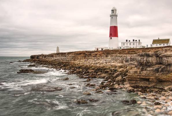
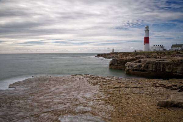
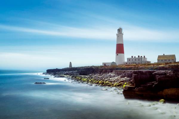
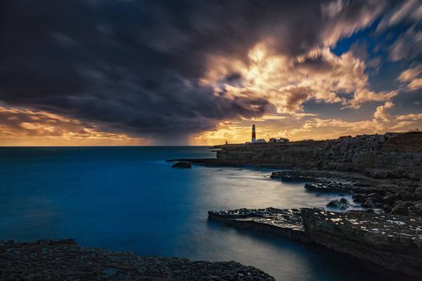
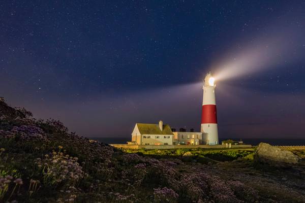
As Portland Bill's largest and most recent lighthouse, the Trinity House operated Portland Bill Lighthouse is distinctively white and red striped, standing at a height of 41 metres (135 ft). It was completed by 1906 and first shone out on 11 January 1906. The lighthouse guides passing vessels through the hazardous waters surrounding the Bill, while also acting as a way-mark for ships navigating the English Channel.
by Richard Down
Dorset
Taken yesterday morning during a 1-2-1 tuition day with a new client. Great conditions by lunchtime.
UK & Iceland Landscape Photography Workshops,...
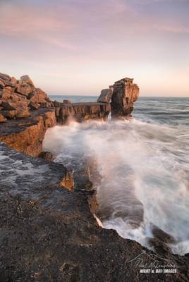
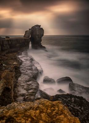
Waves surge in at sunset pounding the ledges around Pulpit Rock, Portland Bill, Dorset. It looks pretty fragile on its eroding base but I guess it...
by jim stephenw
The name "Portland Bill" has its roots in "The Beel" as named on early maps. This derived from the beak shape of Portland Bill. From 1588 onwards, when the area was part of a crucial Armanda invasion-warning network, it was often named "The Beacon".
As Portland Bill's largest and most recent lighthouse, the Trinity House operated Portland Bill Lighthouse is distinctively white and red striped, standing at a height of 41 metres (135 ft). It was completed by 1906 and first shone out on 11 January 1906. The lighthouse guides passing vessels through the hazardous waters surrounding the Bill, while also acting as a way-mark for ships navigating the English Channel.
by Richard Down
Portland Bill, Dorset
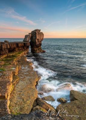
One from yesterdays outing to dorset ... The side light on pulpit rock at Portland bill was just so intense .. beautiful to see & capture.
I jhimages.co.uk I Facebook I Twitter I Instagram I 500px |
So when i was on the workshop with Paul Reiffer in Dorset, we were going to go out for...
**Join me @ Facebook | Google+ | Twitter | 500px | Instagr | YouTube **
Europe - UK - England - Dorset - Jurassic...
by jim stephenw
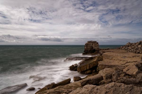
The name "Portland Bill" has its roots in "The Beel" as named on early maps. This derived from the beak shape of Portland Bill. From 1588 onwards, when the area was part of a crucial Armanda invasion-warning network, it was often named "The Beacon". Quarrying began at Portland Bill in the mid 19th century but remained a small scale operation into the early 20th century. Quarries were on the west side of the bill and stone was transported along a short tramway to a shipping quay, now the site of Red Crane. An area absorbed into the quarries was White Hole, where quarrymen cut away a natural arch to form Pulpit Rock in the 1870s. It was intentionally left as a quarrying relic and was formed with religious associations; the large slab of rock leaning against the main stack depicted an open bible leaning on a pulpit. Surrounding the rock is the rather charmingly-named Snail Shore, a surface containing snail, oyster and mollusc shells that once made up a Jurassic seabed thriving with marine life around 150 million years ago.
by Richard Down
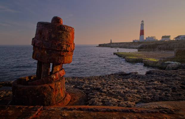
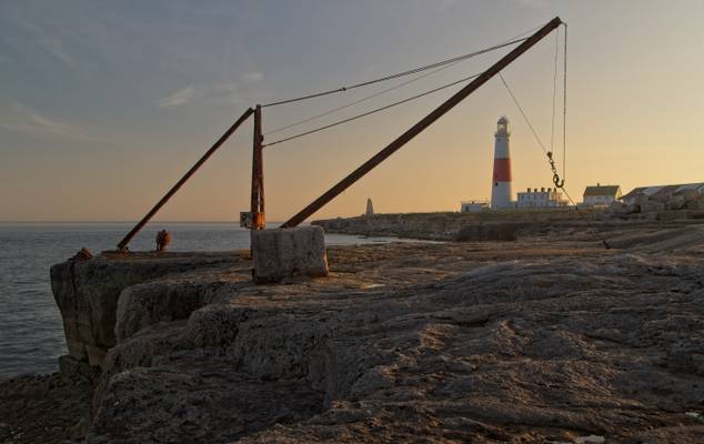
Framing the Portland Bill Lighthouse, the red crane is still used by local fisherman. Originally, the crane operated on a stone shipping quay for the now disused stone quarries.
BRAND NEW DORSET WORKSHOP ANNOUNCED Mon 25th - Weds 27th Sept 2017 £595 www.melvinnicholsonphotography.co.uk/product/dorset-works...
This scene...
I jhimages.co.uk I Facebook I Twitter I Instagram I 500px |
What a wonderful sight can be found in Dorset. This is the Pulpit Rock which a firery...
I jhimages.co.uk I Facebook I Twitter I Instagram I
This was a fun night, I went out to try and capture the Milky Way behind the Lighthouse but as...
Thanks to all Phoide contributors to Weymouth and Portland!
Most notably jim stephenw and Richard Down.