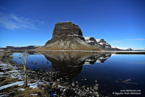
Lómagnúpur mount
0
Last week I was looking through flickr and saw a great shot of this mountain taken by one of my contacts, it spurred me on to go back to my files and see what I'd got from here, and from this trip.
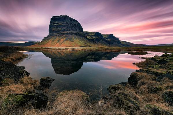
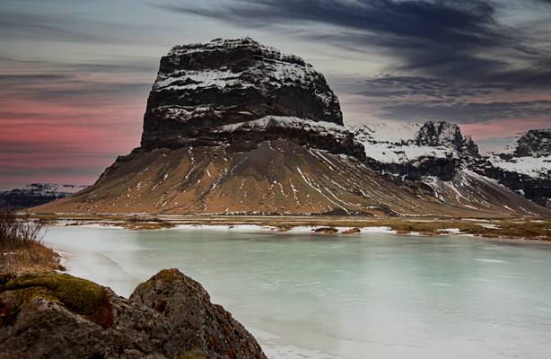
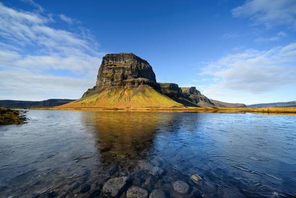
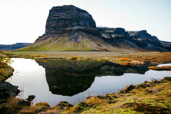
Lómagnúpur Mountain stands at 688ft high, a Volcanic beast that seemingly just rises up out of nothing to form this awe inspiring sight that dominates the whole area.
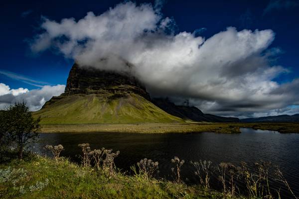
We were quite lucky with this shot as it can be nororiously hard to photograph with the top often being covered in cloud or other conditions that don't lend themself to landscape photography. At the end of this day we were driving past and the conditions were basically perfect, no low cloud and the plenty of water in the pool at the fore that was perfectly still allowing for a full reflection, we ended up shooting here for about an hour in the end up until, and through sunset.
This is a super wide take on it, shot at 14mm and a somewhat eye watering 515 seconds (over 8 minutes) exposure.
With there not being much wind about I wanted a long exposure to create movement in the sky to add to the dramatic feel of the image, I don't really like the Long Exposure calculators you get on apps, too often I find they can be quite far out, it was a case of taking one image, checking the histogram and seeing how much I had left to play with on the right hand side and then coming up with a time, plus adding further time on for the dwindling light at sunset. The histogram off this shot is pretty much stretched left to right, black to white, giving me everything I needed plus the extremely long time gives plenty of sky movement.
Just as well it worked out really as you will only get 1 or 2 chances at it due to the long duration and the light dying off.
Unplanned shoots can sometimes throw some magic your way, as did this, what a great end to a day.
0
0
0
It is a long, north-south oriented ridge at its highest peak 764m above sea level, while the foremost cliffs reach a (almost vertical) height of 671m...
0
0
0
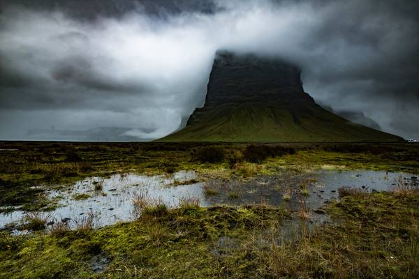
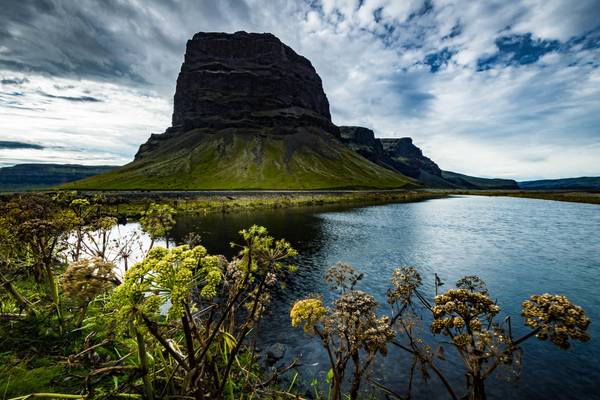
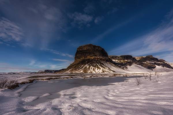
Lómagnúpur mountain is a 688 metres high mountain located between the Kirkjubæjarklaustur village and Skaftafell area. The environment around the mountain is spectacular, shaped from volcanic eruptions, glaciers and lakes. In 1789 there was a earthquake in the area and a big landslide fell down from the south part of the mountain, marks from that can be seen from the main road.
Iceland. March 2017
0
It is a long, north-south oriented ridge at its highest peak 764m above sea level, while the foremost cliffs reach a (almost vertical) height of 671m...
