United States » Oregon »
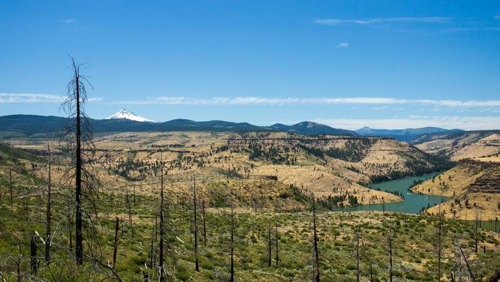
Central Oregon west of Madras

0
That is Mt. Jefferson in the background, and the west end of Lake Billy Chinook.
The Central Oregon region covers approximately 7,833 square miles (20,290 km2), and sits at the convergence of the Basin and Range, Cascades, Blue Mountains, and Columbia River Plateau geologic regions. Because it is part of a historically volcanic region, volcanic rock formations are a common sight, including lava beds, volcanic buttes, crater lakes, volcanic plugs, and lava tubes.[3] Consequently, Deschutes is the most cave-rich county in Oregon with over 500 lava tubes.
The primary river flowing through Central Oregon is the Deschutes River. Its source is Little Lava Lake in the Cascade Mountains, northwest of LaPine. The Deschutes runs south to north, eventually flowing into the Columbia River. Along its way, dams control its flow creating Crane Prairie Reservoir and Wickiup Reservoir. The river runs alongside the resort community of Sunriver and through the city of Bend.