Sculpted

0
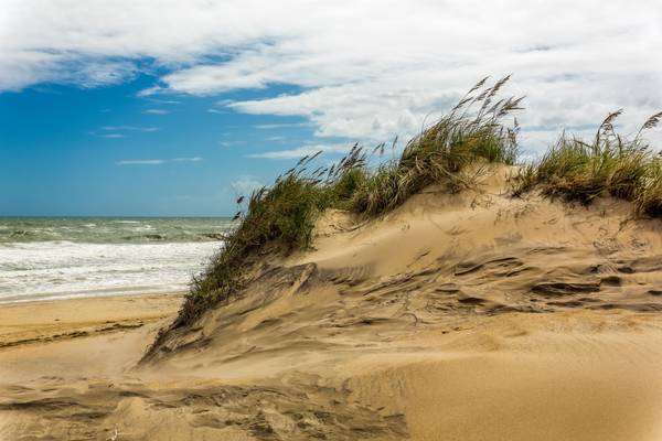
The wind at North Carolina's Outer Banks is relentless, as you can see on this dune. The area where I'm standing is a breach. High surf, likely from a nor'easter or hurricane, broke through the dune, leaving it exposed to the wind. On this day, sand was lifted along at high speed... it felt as though I was standing in a sand blaster well above head height... stand here long enough and it will exfoliate down to the bone. As you can see, there's nobody on the beach... well, except for some dummy with a camera.
As I explained in the previous posts of Bodie Island Lighthouse, these islands were a danger to ships at sea. This was taken just across from the Pea Island Preserve. In this place, just left of this picture is where the federal steamer Oriental sank in 1862... the ship's boiler can be seen at low tide.
Our barrier islands have a history of shifting with the wind and tide, but in this modern age, we prefer they stay where they are because there are roads on them now. That's one reason why the dunes are protected. The sea oats along the dune were planted there to prevent just what you're seeing here, as some of the drifting sand is visible. It's a tentative ecology at best, though it does help. Also take note here of the flat sandy beach that's indicative of every beach in the state. I much prefer this to rocky beaches, as it makes for better traction to run out of that surf when things are trying to eat you. Just saying...