Bolivia »
La Paz
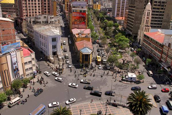
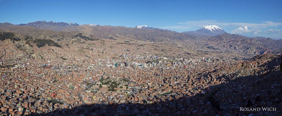
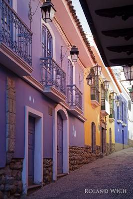
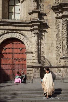
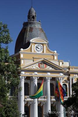
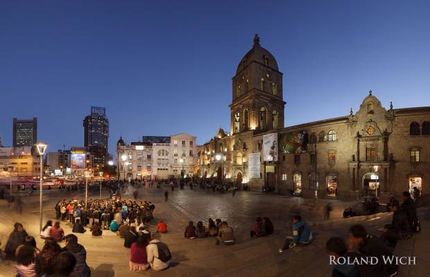
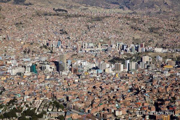
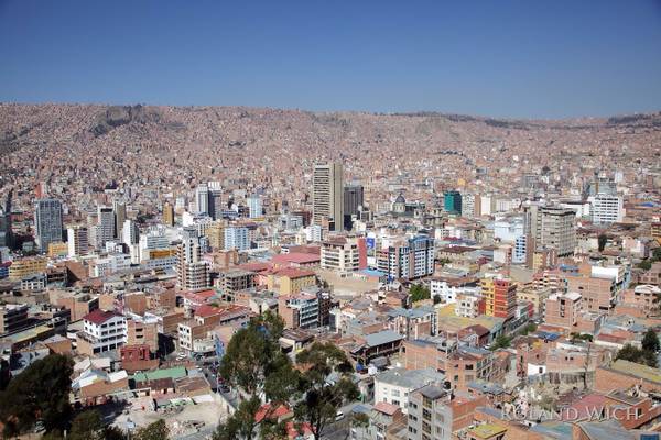
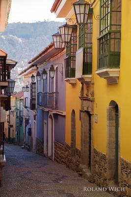
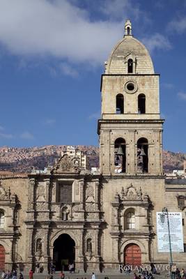
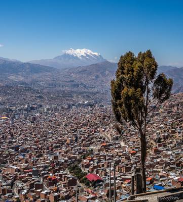
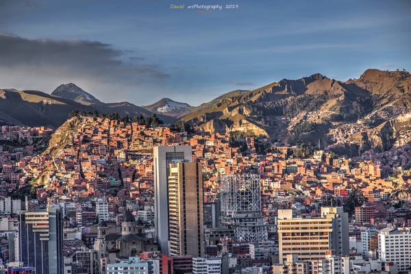
La Paz, the administrative capital of Bolivia, is a city that is rich in culture, history, and natural beauty. It is situated in a valley surrounded by the Andes Mountains, making it a perfect destination for photography enthusiasts. The city is known for its colorful markets, colonial architecture, and vibrant street life. The Witches' Market, San Francisco Church, and Plaza Murillo are some of the popular photography locations in La Paz. The city also offers stunning views of the snow-capped mountains and the unique landscape of the Altiplano. With its diverse and picturesque locations, La Paz is a must-visit destination for any photographer looking to capture the essence of Bolivia.
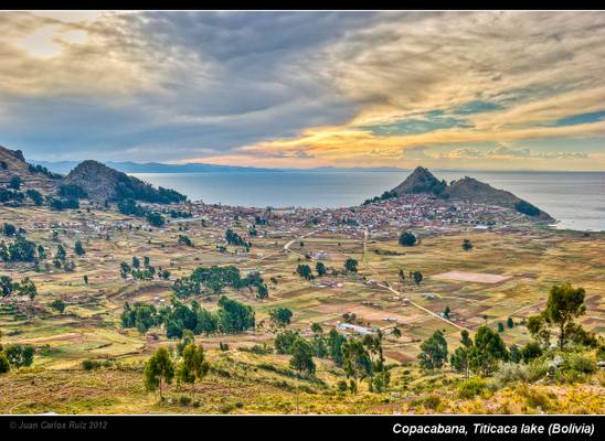
by Juan Carlos Ruiz San Millán
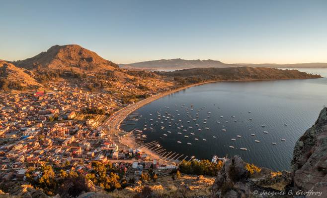
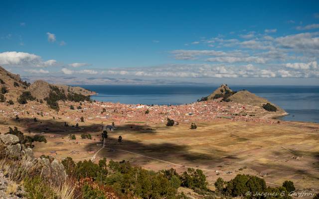
Copacabana es una de las principales localidades ribereñas del lago Titicaca. Es la capital de la provincia de Manco Kapac, del Departamento de La Paz en Bolivia. Está ubicada a 155 km de la ciudad de La Paz. Es un centro de peregrinación por hallarse en la misma la imagen de la Virgen de Copacabana, la advocación mariana más extendida en Bolivia.
La ciudad, construida entre los cerros Calvario y Niño Calvario (o Kesanani), tiene cerca de 6 mil habitantes. Copacabana es famosa en todo el país por sus celebraciones religiosas, su patrimonio cultural y sus fiestas tradicionales.
Llamada así por la españolización del nombre de la precolombina deidad andina "Copakawana", que vendría a ser el equivalente a la Diosa griega Afrodita o la romana Venus. El culto que se le rendía a Copakawana era para que por su complacencia favoreciera a la unión y con su bendición a la fecundidad (Wikipedia).
Una curiosidad es que el nombre de la famosa playa de Rio de Janeiro, Copacabana, mundialmente conocida, viene de aquí. Al parecer la Virgen de Copacabana fue trasladada desde aquí a Rio y finalmente acabó dando su nombre a la conocida playa brasileña.
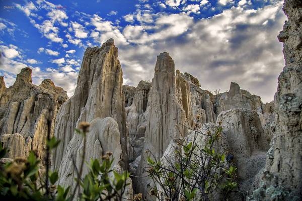
by Runa 59
Runa Photography, Daniel © 2019
© All rights reserved, don´t use this image without my permission
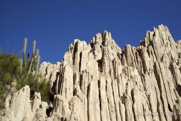
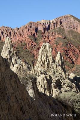
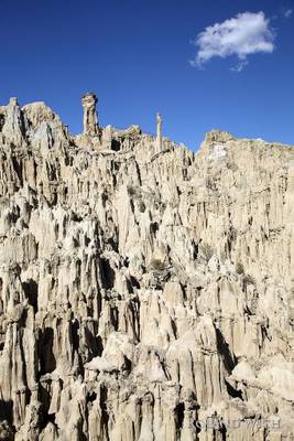
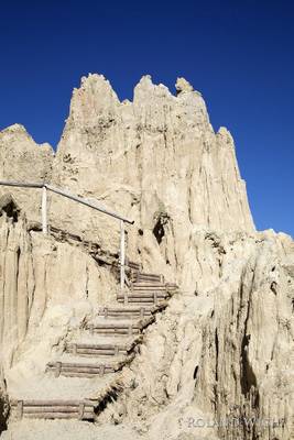
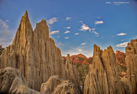
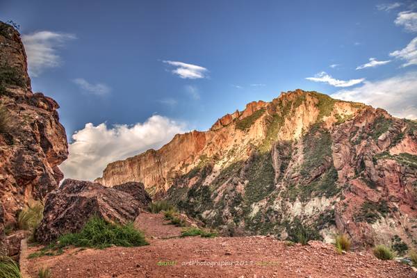
Valle de la Luna (Moon Valley) is situated about 10 kilometers from downtown La Paz, in the Pedro Domingo Murillo Province, La Paz Department, Bolivia. It consists of an area where erosion has worn away the majority of a mountain, composed primarily of clay rather than rock, leaving tall spires. It is similar to another zone of La Paz that is known as El Valle de las Animas (The Valley of the Souls). It is an important site of the famous holiday, Dias de los Muertos (Day of the Dead) Because the mineral content of the mountains varies greatly between individual mountains, the sides of the mountains are different colors, creating striking optical illusions A majority of them are a clear beige or light brown color, but some are almost red, with sections of dark violet.
Source: wikipedia
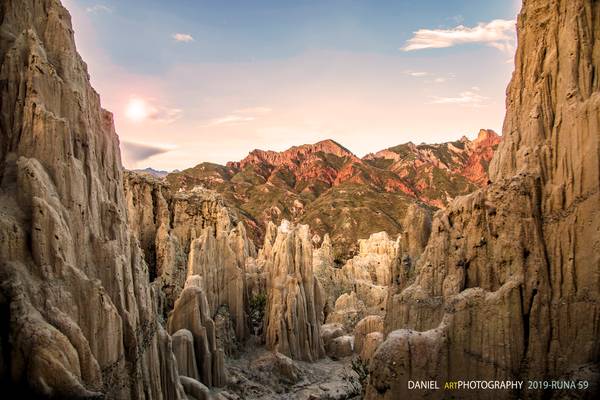
by Runa 59
Runa Photography, Daniel © 2019
© All rights reserved, don´t use this image without my permission
La clara muchedumbre de un poniente ha exaltado la calle, la calle abierta como un ancho sueño hacia cualquier azar. La límpida arboleda pierde el último pájaro, el oro último. La mano jironada de un mendigo agrava la tristeza de la tarde.
El silencio que habita los espejos ha forzado su cárcel. La oscuridad es la sangre de las cosas heridas. En el incierto ocaso la tarde mutilada fue unos pobres colores.
Jorge Luis Borges
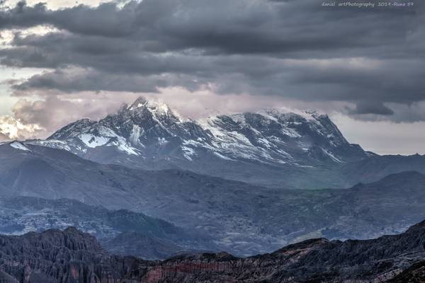
by Runa 59
Runa Photography, Daniel © 2019
© Some rights reserved, don´t use this image without my permission
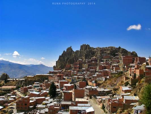
by Runa 59
Runa Photography © 2014 © All rights reserved, don´t use this image without my permission
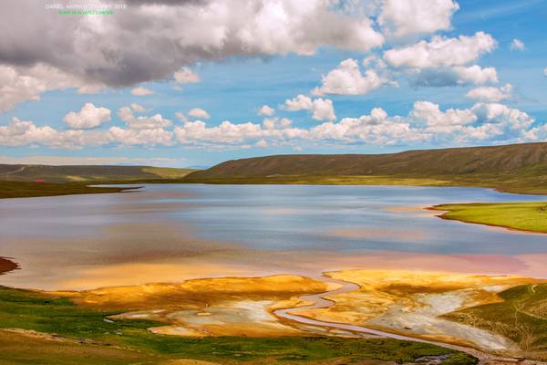
by Runa 59
Runa Photography, Daniel © 2018 © All rights reserved, don´t use this image without my permission
En estos días todo el viento del mundo sopla en tu dirección. La Osa Mayor corrige la punta de su cola y te corona con la estrella que guía la mía.
Los mares se han torcido con no poco dolor hacia tus costas. La lluvia dibuja en tu cabeza la sed de millones de árboles, las flores te maldicen muriendo celosas.
En estos días no sale el sol, sino tu rostro, y en el silencio sordo del tiempo gritan tus ojos: Ay! de estos días terribles, ay! de lo indescriptible.
En estos días no hay absolución posible para el hombre, para el feroz, la fiera que ruge y canta ciega, ese animal remoto que devora y devora primaveras.
En estos días no sale el sol, sino tu rostro, y en el silencio sordo del tiempo gritan tus ojos: Ay! de estos días terribles, ay! del nombre que lleven, ay! de cuántos se marchen, ay! de cuántos se queden.
Ay! de todas las cosas que hinchan este segundo, ay! de estos días terribles, asesinos del mundo.
Silvio Rodriguez: En estos días
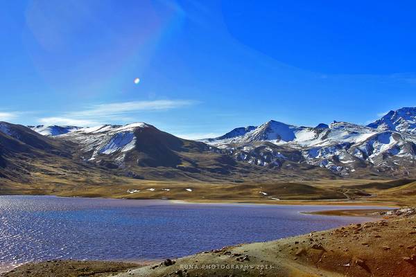
by Runa 59
Runa Photography © 2013 © All rights reserved, don´t use this image without my permission
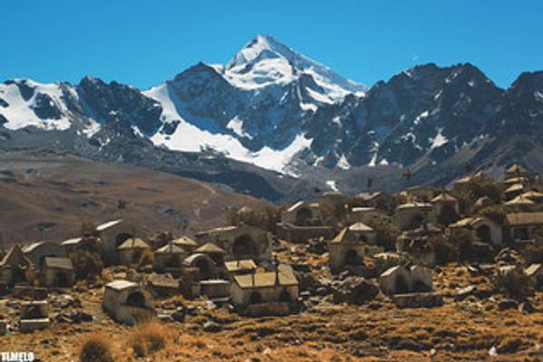
by TLMELO
flickr.com
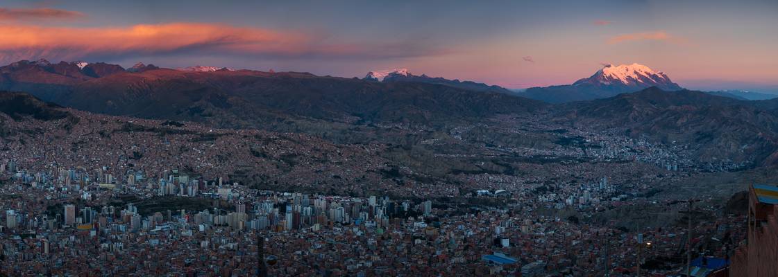
by Jiri Hajek
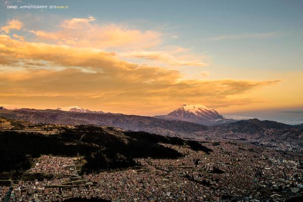
Setting Sun nicely illuminated mountains around La Paz, most notably Illimani.
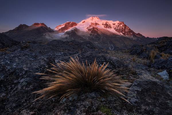
by Jiri Hajek
There are various great foreground elements around this spot, but I really liked the beautiful patches of grass here or there. Together with the first rays of Sun on Huayna Potosí it makes a very memorable morning to me.
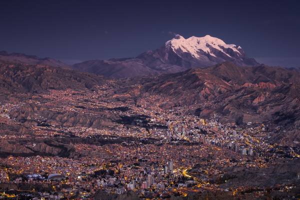
by Jiri Hajek
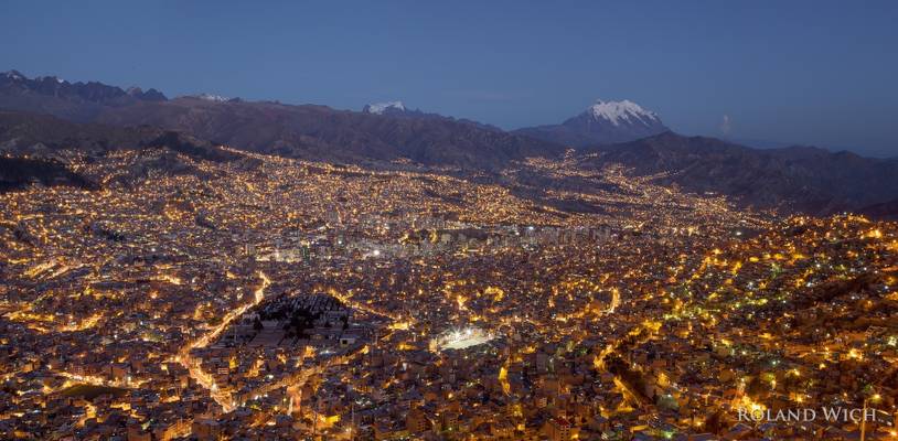
Illimani is a beautiful 6,438 m tall mountain that's visible from many places around La Paz and El Alto. It was quite a unique experience to watch the sunset illuminating it together with the city lights below turning on.
This spot right next to the Faro de Murillo cable car station is definitely one of the best viewpoints from El Alto, as it offers quite unobstructed views of most of La Paz with the mountains around it.
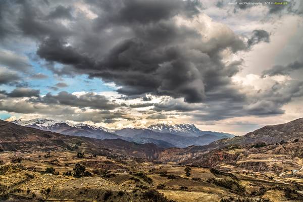
by Runa 59
Runa Photography, Daniel © 2019
© Some rights reserved, don´t use this image without my permission
by Runa 59
Runa Photography, Daniel © 2019
© All rights reserved, don´t use this image without my permission
by Runa 59
Runa Photography, Daniel © 2019
© Some rights reserved, don´t use this image without my permission
by Runa 59
Runa Photography, Daniel © 2018 © All rights reserved, don´t use this image without my permission
by Runa 59
Runa Photography, Daniel © 2018 © All rights reserved, don´t use this image without my permission
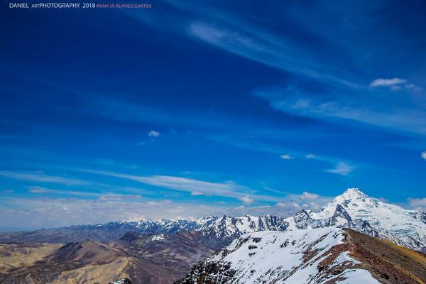
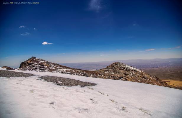
Cuando llegamos a la cumbre del Chacaltaya pudimos observar el paso de un avión de la compañía aérea Amaszonas que cubría el trayecto La Paz-Rurrenabaque. El avión se encuentra en el centro de la fotografía con dirección al Huayna Potosí.
by Runa 59
Runa Photography, Daniel © 2019
© Some rights reserved, don´t use this image without my permission
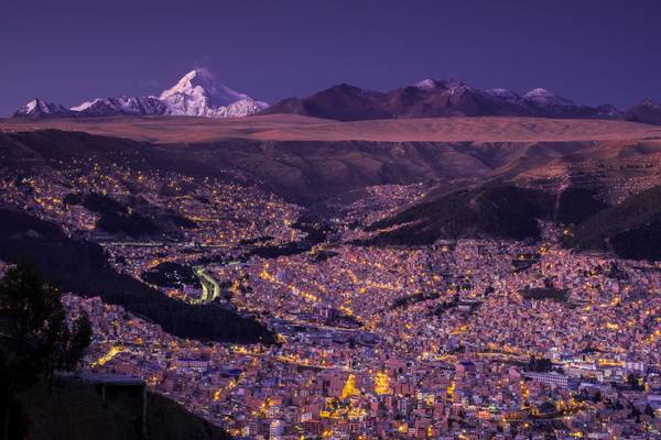
by Jiri Hajek
Huayna Potosí is a beautiful Bolivian mountain towering to 6088 meters North of La Paz. In this dusk photograph taken next to the Faro de Murillo cable car station it looks like an Angel guarding the city of La Paz below.
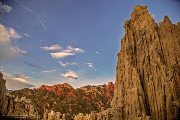
by Runa 59
Runa Photography, Daniel © 2019
© All rights reserved, don´t use this image without my permission
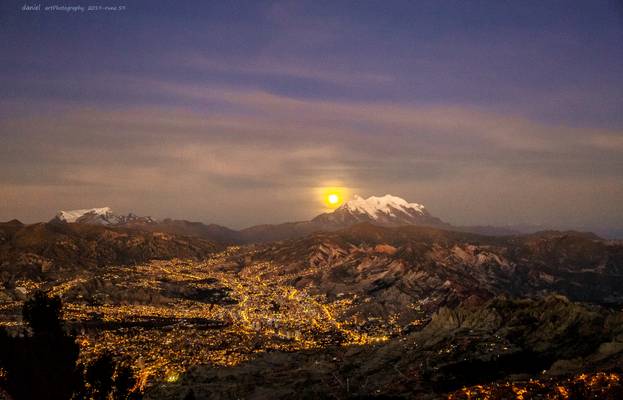
by Runa 59
Runa Photography, Daniel © 2019
© All rights reserved, don´t use this image without my permission
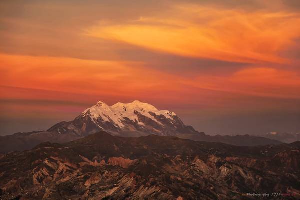
by Runa 59
Runa Photography, Daniel © 2019
© All rights reserved, don´t use this image without my permission
by Runa 59
Runa Photography, Daniel © 2019
© All rights reserved, don´t use this image without my permission
by Runa 59
Runa Photography, Daniel © 2019 © All rights reserved, don´t use this image without my permission
Around 15,000 years ago, as the Ice Age began to retreat, people were forced to either adapt to changing conditions or perish. By now, many of the large mammals had disappeared—due presumably to both intensive hunting and to the changing environment.
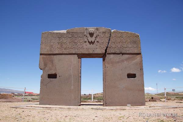
Around 8,000-10,000 years ago, the first signs of agriculture began to appear. People also began to selectively breed wild guanacos and vicuñas, creating two new species in the process: the llamas and the alpacas. Gradually, hunter gatherers became farmers and farming began to slowly spread through the Andes. With increased production of potatoes, quinoa, corn, squash, peanuts, and chilies, populations soon began to increase and social classes began to emerge. It was during this period that the first temples and ceremonial platforms began to rise, constructed by societies now composed of priests, nobles, artisans, metallurgists, warriors, and peasants working the fields.
Source:Kim Mac Quarrie
by Runa 59
Runa Photography, Daniel © 2018 © All rights reserved, don´t use this image without my permission
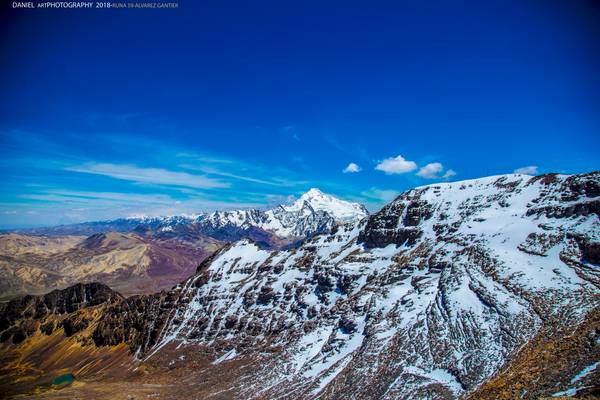
Los Andes bolivianos tienen un interés especial porque presentan exposiciones casi completas del registro sedimentario desde el Paleozoico inferior hasta el reciente. Las investigaciones realizadas en los últimos años sobre estos conjuntos sedimentarios, han llevado a la elaboración de síntesis regionales muy ilustrativas (Sempere 1995, Suárez-Soruco 2000) que han modificado enormemente las visiones clásicas de la geología de esta región.
No obstante, estas síntesis no incluyen el análisis de las rocas magmáticas cuyo estudio aporta pautas importantes para reconocer los paleoambientes tectónicos y los procesos litosféricos profundos. La sedimentación y el magmatismo son los responsables de la transferencia de materia en la litósfera. La erosión y la sedimentación, si actúan por largos períodos, pueden transferir un gran volumen de masa rocosa de un lugar a otro en la corteza superior. Por su parte, el magmatismo es el proceso que acarrea materia desde el manto litosférico, y aún desde profundidades mayores, a la corteza. En el presente trabajo, se analiza la evolución geológica de los Andes de Bolivia en términos de transferencia de masa tanto de las áreas circundantes como del manto, y se trata de determinar la contribución relativa de cada una de las fuentes.
Fuente:Jiménez N, et al Evolución tectonomagmática de los Andes bolivianos.
by Runa 59
Runa Photography © 2012 © All rights reserved, don´t use this image without my permission.
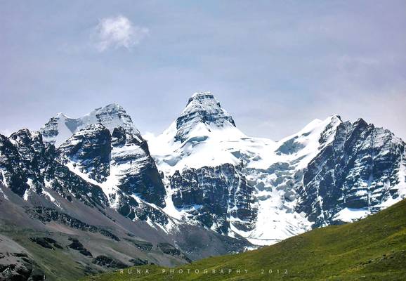
When you travel around La Paz, you will have the chance to see a very beautiful mountain formation, the Condoriri Range. One of its main mountains is "La Cabeza de Condor", (literally, the Condor's Head), and next to it, on each side the Ala Izquierda and the Ala Derecha (or right and left wing). This very interesting group is a place where the alpinist can practice a variety of techniques in mountaineering, from classic rock to alpine ice, and from simple expedition to the summits to alpine style climbs via several gullies, faces and slopes. Moreover, there are several other mountains to be climbed in the area, making it a Chamonix or a Zermat in South America and making worth a visit.: Pequeño Alpamayo, Ilusion, Ilusionsita, Tarija, etc. Indeed, given the right weather and physical condition, one can climb one mountain each day and rest another for 10 days or more.
The Cabeza de Condor is, on its normal route, a grade III climb, AD/AD+, 55 degrees if hard snow in the gully or a 5.0-5.4 rock. via the full ridge. The ridge, sharp as a knife, is very exposed. The route is not technically hard, but the length and altitude of the final ridge make it a serious endeavor for the alpinist.
by Runa 59
Runa Photography, Daniel © 2018
© All rights reserved, don´t use this image without my permission
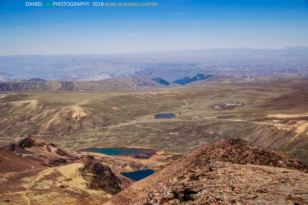
El Valle de La Paz corresponde únicamente al extremo norte del inmenso valle mesotérmico del río Boopi o río de La Paz, que comprende además los valles de Palca, Sapahaqui, Caracato, Luribay-Araca-Lloja. Todo este inmenso valle, producto del hundimiento geológico de fines del terciario, está flanqueado en el este por el muro de la Cordillera Real y por el Altiplano en el oeste.
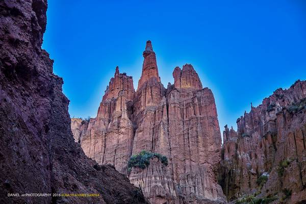
La fisiografía del Valle está definida empinadas laderas, como la del oeste, hacia El Alto y la del este hacia Pampajasi-Ciudad del Niño, además de los inmensos badlands de Achocalla-Mallasilla-Llojeta, producto de una catástrofe holocénica, que han dado lugar a lo largo de siglos a paisajes geomorfológicos de especial belleza escénica (barrancos, riscos y torres labradas por la erosión). La impronta topográfica esta dada por profundas quebradas y grandes macizos montañosos enclavados, de diferentes edades geológicas, como la sierra de Collana, las sierras de Lipari-Muela del Diablo-Aranjuez, la de Llojeta que se desprende del altiplano y la del Calvario (Killikillini) en el extremo opuesto.
Fuente:Marco Octavio Ribera Arismendi: El valle de La Paz hace 10.000 años.
Thanks to all Phoide contributors to La Paz!
Most notably Runa 59, Jiri Hajek and Jacques B. Geoffroy.
